
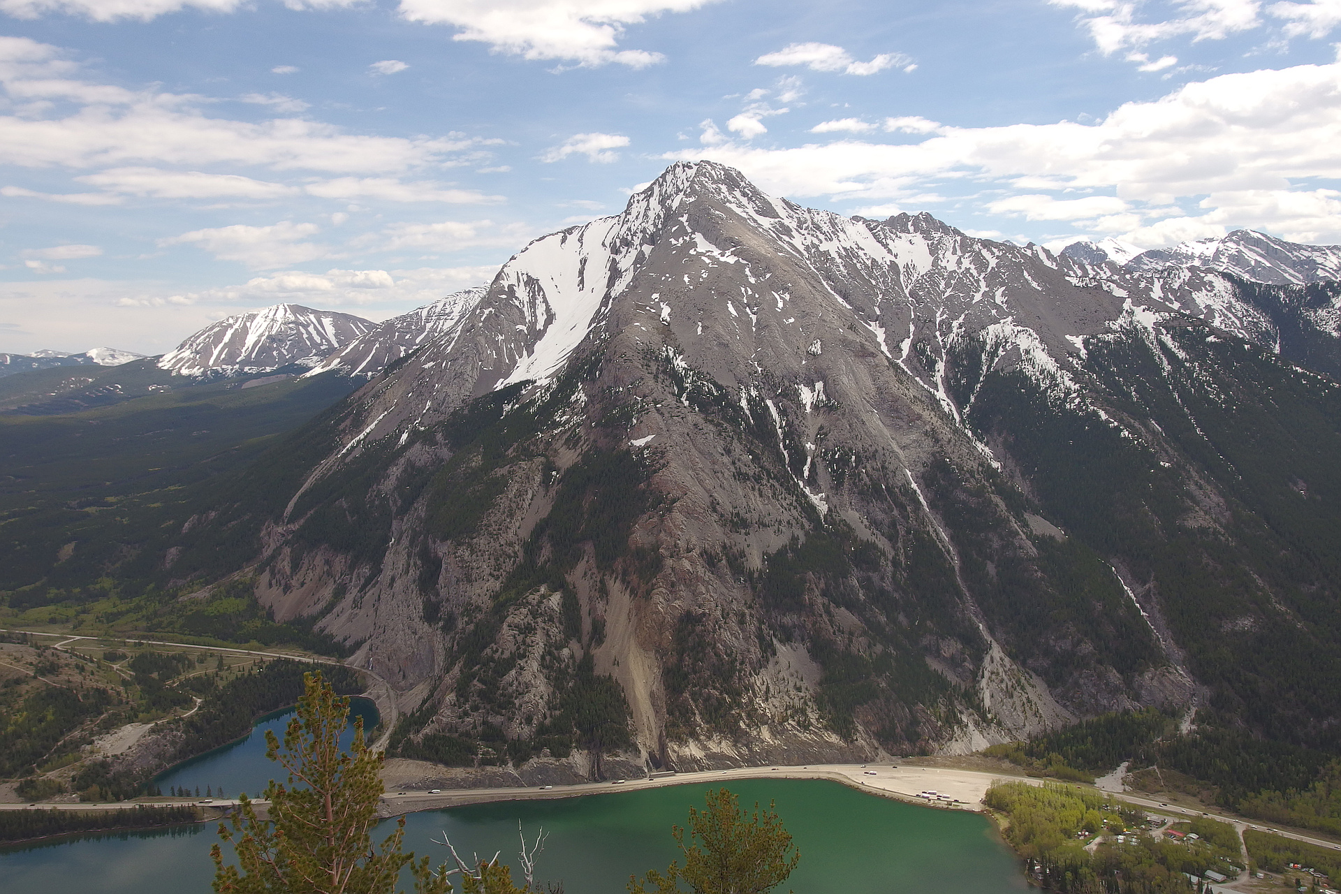
Region
Most climbed route
Highlights
Routes
4 climbs • 8.9 km • 3,313 m gain • 6 hr 14 min
3 climbs • 9.9 km • 3,459 m gain • 5 hr 40 min
2 climbs • 6.0 km • 3,819 m gain • 5 hr 21 min
1 climb • 12.7 km • 4,199 m gain • 7 hr 54 min
1 climb • 10.0 km • 4,019 m gain • 7 hr 6 min
1 climb • 11.9 km • 3,951 m gain • 7 hr 2 min
1 climb • 12.0 km • 3,933 m gain • 6 hr 54 min
1 climb • 16.8 km • 5,263 m gain • 6 hr 52 min
1 climb • 6.8 km • 3,204 m gain • 6 hr 7 min
1 climb • 9.2 km • 3,944 m gain • 6 hr 22 min
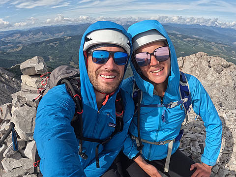
Latest climbs
"The plan was Window-Allison-Ward, but the trail was closed due to a recent bear attack. Sentry and Ostracized were a great consolation. Easy route finding and fun scrambling if you want it. Otherwise, it’s mostly hiking on well defined trails. " — ivo • Sep 15, 2024

"Great climb! I made it about 3/4 of the way. It was an overcast day, and above the cloud line, everything was coated in ice. The exposed ridge was too slippery for my liking, so I'll try again on a clear day. " — AaronKauffman48 • Nov 10, 2023

"Went up via grassy east slopes and then ridgewalked last 400m to the summit. Very pleasant route with no difficulties. The snow on the summit ridge made it more challenging. Felt more like "moderate" scramble than "easy"." — Taras • Jun 9, 2019

"Went up the east slope route NOT the Kane route. Very easy route. South ridge and east slopes are dry.
Attempted Ostracized Peak, which had three problematic snow patches. The last one we couldn't get around, and weren't willing to take the risk on, so we turned around. " — alisekera • May 15, 2019

"We started hiking along the fire block road and followed the trail to the top of a knoll. We took the north side of the bowl up to a scramble and then crossed over the top of the bowl to the vegetated part of the slope. We then followed that up to the saddle between Sentry and No-name and ridge walked to the summit. " — James-M • Jun 23, 2017

"Started out kind of a gloomy day, potential for rain. We made our way out of the trees and went along the ridge to the summit. Rather than downclimbing the ridge we opted to take to the scree off the SW of the summit and followed the drainage. The creek crossing was about knee deep where we found the creek widened (and subsequently less shallow)." — BertB • May 30, 2015

"Full day taking my time on the way up and down. Avoided the river crossing completely by using the highline quarry rock trail. Summit ridge had a few challenging little humps some of which I would tend to give a moderate rating to. Wide ranging summit views though and being the only one up that day it was a great way to end the month. Saw a couple come up four bumps behind me and then appeared to turn back when they saw what had to be overcome and the technicality involved to reach the summit. I think being solo made it feel much more difficult as there was no one to test out the moderate sections. Took the east gully down and followed an old decommisioned road to fence line followed by a lengthy walk back along the highway to quarry where I'd parked:-)." — Mountainman • Jun 30, 2012
Photos
Awards
Challenges
About peakery awards
Log climbs on peakery to earn awards:
Peak Badges: Earn a special badge for each unique peak you summit. See all of your badges on your Badges page.

First Ascent Award: Only 1 available per peak. Goes to the first peakery member to log a successful summit of a peak. Snag this award and the peak will forever bear your name.

King of the Mountain Award: Only 1 available per peak. Summit a peak more times than any other member. Beware: this award can be lost!

Summit Steward: Summit a peak at least 5 times to become one of its Summit Stewards. As Steward of a peak, you’re encouraged to keep that peak’s info up-to-date on peakery and spread goodwill on your future climbs up the peak.