
Region
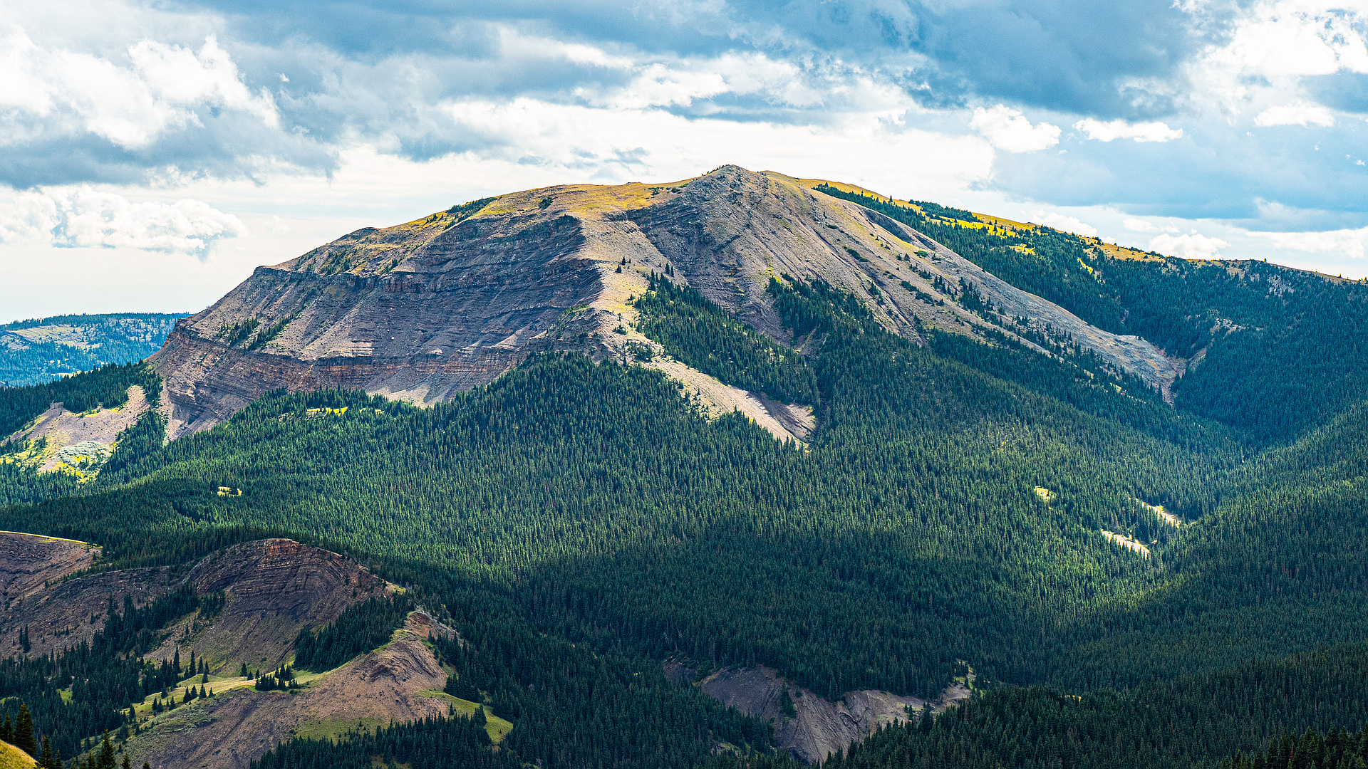
Highlights
Routes
1 climb • 16.5 km • 3,455 m gain • 8 hr 53 min
1 climb • 11.7 km • 2,645 m gain • 4 hr 10 min
1 climb • 18.0 km • 1,902 m gain • 5 hr 55 min
1 climb • 19.9 km • 4,227 m gain • 7 hr 4 min
1 climb • 22.4 km • 4,025 m gain • 9 hr 35 min
1 climb • 22.5 km • 4,173 m gain • 8 hr 32 min
1 climb • 22.7 km • 4,523 m gain • 8 hr 30 min
Latest climbs

"I hadn't heard about this one until Devan mentioned it and I looked up Spirko's report. It's a bit more secluded back there, but I thought it would be cool to see Coffin Mountain up close from the other side and to have access into that area with the 940 still closed for two months. Bert said he'd be interested when I mentioned it, although he didn't enjoy it while we were doing it AT ALL. According to the GPS stats from Bert we actually did a lot more elevation gain than Spirko's report said hahahaha. Drama and complaining from Bert aside, I thought it was a beautiful day to be out. I am also glad that we didn't run into that giant Hereford bull in the fields we entered as he was free ranging along the road about 1km down. No wildlife, not even sheep... except for a few birds." — leigh-annewebster • Mar 20, 2021

"Coffin - Sheep - Horseshoe loop: 23.7km with 1,320m gain in 9:40hrs
Family scramble. Got lucky with the weather: it was raining in any other place around except that particular area. Nice and easy scramble, took an alternative longer approach to Horseshoe Peak via ATV trails, i.e. no bushwhacking." — alexp • Aug 24, 2019
Photos
Awards
About peakery awards
Log climbs on peakery to earn awards:
Peak Badges: Earn a special badge for each unique peak you summit. See all of your badges on your Badges page.

First Ascent Award: Only 1 available per peak. Goes to the first peakery member to log a successful summit of a peak. Snag this award and the peak will forever bear your name.

King of the Mountain Award: Only 1 available per peak. Summit a peak more times than any other member. Beware: this award can be lost!

Summit Steward: Summit a peak at least 5 times to become one of its Summit Stewards. As Steward of a peak, you’re encouraged to keep that peak’s info up-to-date on peakery and spread goodwill on your future climbs up the peak.