
Region
Highlights
Routes
5 climbs • 33.8 km • 3,831 m gain • 9 hr 2 min
2 climbs • 34.2 km • 3,999 m gain • 8 hr 42 min
1 climb • 6.9 km • 3,822 m gain • 6 hr 16 min
1 climb • 22.2 km • 5,997 m gain • 12 hr 31 min
1 climb • 33.7 km • 4,222 m gain • 7 hr 46 min
1 climb • 33.6 km • 3,875 m gain • 9 hr 6 min
1 climb • 36.2 km • 6,295 m gain • 11 hr 7 min
1 climb • 29.0 km • 4,206 m gain • 10 hr 59 min • Class 3
Latest climbs
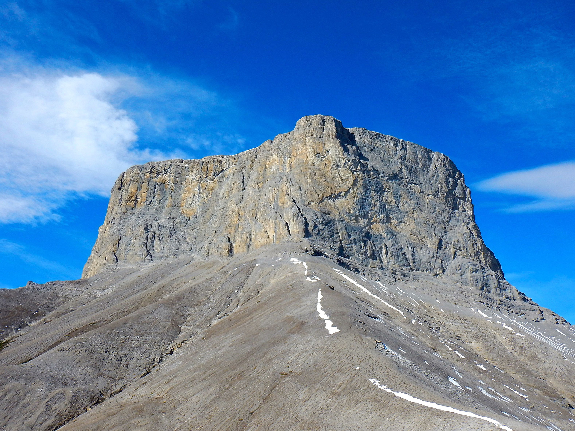
"Hiking 10 km from Little Elbow parking, crossing Little Elbow River. Moving up, forest, canyon, rock field, lope/ledges covered by snow, moderate scramble, easy hike before summit. Alternative route , described in Alan Kane third edition. 30 km. 12 hours" — hiker64 • Oct 30, 2025

"This trip went a bit unexpected. First, with a faulty GPS track I ended up in a wrong drainage on unpleasant terrain. Luckily, I saved on my phone a photo of the ascent photo from Kane's book. Using this photo was able to find the hidden rump without much trouble. The terrain was very steep scree on slabs - felt more like a "difficult" scramble than "moderate". On the way back, when I retrieved my bike I noticed it had a flat tire. Cycling on a rim wasn't fun. Oh, well. Shit happens. " — Taras • Jun 5, 2023
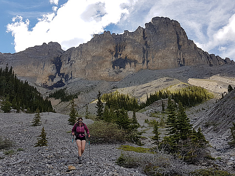
"Bike and hike.
Took the Kerr route. Little elbow was cold and running fast, but less than knee deep.
Water running in the drainage was interesting. Not difficult, just better to look at then rubble.
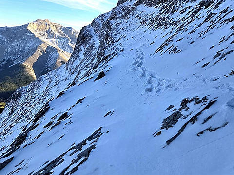
Snow was not an issue, but you want this one to be dry. Lots of slab near the top.
Nice day, but I won't be back." — mike_rogers81 • Jun 25, 2018

"We had a great outing. The weather was not looking all that great as we had clouds hanging around. It was a bit disappointing to find out we hit the false summit, but we kept at it. In the end we had two snowflakes at the summit, and three rain drops on the way out. Jamie ran the 11km approach while I biked it. Distance covered was 36km (22km by biking, 14km hiking). Elevation gain 1230m." — BertB • Jun 15, 2015

"Solo ascent in 4h45min. Perfect conditions with snow on ridge to make it spicy and just enough snow to glide a long way down. Creek crossing cleaned my bike so it doesn't sqeak anymore - yeah!" — alexjoseph • May 18, 2015
Photos
Awards
Challenges
About peakery awards
Log climbs on peakery to earn awards:
Peak Badges: Earn a special badge for each unique peak you summit. See all of your badges on your Badges page.

First Ascent Award: Only 1 available per peak. Goes to the first peakery member to log a successful summit of a peak. Snag this award and the peak will forever bear your name.

King of the Mountain Award: Only 1 available per peak. Summit a peak more times than any other member. Beware: this award can be lost!

Summit Steward: Summit a peak at least 5 times to become one of its Summit Stewards. As Steward of a peak, you’re encouraged to keep that peak’s info up-to-date on peakery and spread goodwill on your future climbs up the peak.