
Region
Highlights
Routes
2 climbs • 22.5 km • 3,464 m gain • 7 hr 47 min
1 climb • 13.4 km • 843 m gain • 6 hr 57 min
1 climb • 18.4 km • 2,885 m gain • 6 hr 51 min
1 climb • 24.7 km • 4,926 m gain • 9 hr 1 min
1 climb • 33.9 km • 6,531 m gain • 6 hr 33 min
Latest climbs

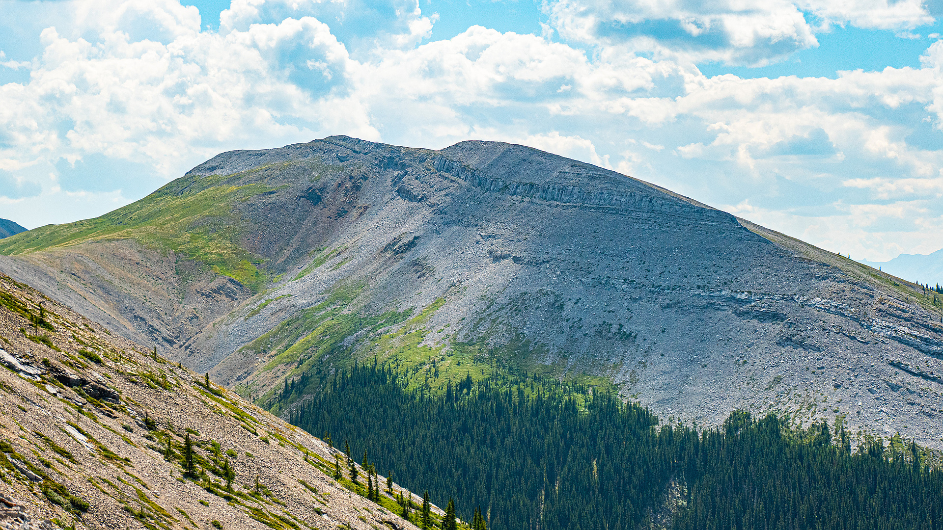
"26.3km with 1550m gain in 8:40hrs return. Fully (but easy) alpine conditions. Should've still brought a bike for the approach (5km on a road).
Viz was on and off in the morning; and non-existent in the afternoon. Descent off SW peak is tricky when wet (and should be fun when dry)." — alexp • Oct 14, 2019

"Traversed over from Moose SW. A few ridge bumps, crossed a snow patch, and up the slopes to the summit. The snow was short and did not present any danger (short, and low sloped)." — BertB • May 13, 2018
Awards
About peakery awards
Log climbs on peakery to earn awards:
Peak Badges: Earn a special badge for each unique peak you summit. See all of your badges on your Badges page.

First Ascent Award: Only 1 available per peak. Goes to the first peakery member to log a successful summit of a peak. Snag this award and the peak will forever bear your name.

King of the Mountain Award: Only 1 available per peak. Summit a peak more times than any other member. Beware: this award can be lost!

Summit Steward: Summit a peak at least 5 times to become one of its Summit Stewards. As Steward of a peak, you’re encouraged to keep that peak’s info up-to-date on peakery and spread goodwill on your future climbs up the peak.