
Region
Highlights
Routes
4 climbs • 7.8 km • 2,211 m gain • 5 hr 13 min
3 climbs • 8.9 km • 1,007 m gain • 5 hr 9 min • Class 1
1 climb • 7.2 km • 2,074 m gain • 5 hr 8 min
1 climb • 7.6 km • 2,238 m gain • 5 hr 20 min
1 climb • 8.7 km • 1,709 m gain • 4 hr 45 min
1 climb • 9.8 km • 2,037 m gain • 4 hr 36 min
Latest climbs
" I started with snowshoes, but the trail was packed, so I quickly took them off. Once I started up the slope, I needed to break trail. The snow was never too deep with plenty of dry patches along the way so kept the snowshoes on my pack. The final half km of the summit ridge I experienced postholing, so I used snowshoes up to the summit. I can't say that I would recommend the loop. Dont try to short-cut it anyway. I did and ended up in Baril Creek with steep canyon walls on both sides. Finally, I found a way up the other side to the Fording River pass trail, which was packed by a snowmobile." — Randy • Feb 26, 2025
"Definitely a buswhack alot of times during the hike. I got confused with the ups and the downs and which slopes to go up but I followed a route on my GPS and it worked out swimmingly. Not my favorite summit but it was still a great day out in the mountains!" — Slogenstein • Nov 8, 2020

"Skied it solo. Felt like I was snowshoeing in skiis. Got disoriented in grey low visibility. Headed right up the trees and the open area near final ridge. Punched through cornice and skinned to summit. Took a line further north down on OK snow and would all the way down the north side of the hills survival skiing all the way back to the car." — alexjoseph • Apr 10, 2020

"Stephan and I went out Dec 24 and broke trail as much as we could before we had to turn around. Weather was overcast with some threatening clouds. We went back Dec 26 and luckily, a group of three was ahead of us and broke the trail from where we stopped to the summit! Right on. The weather was perfect and cloudless - we couldn't have asked for better to be honest. We caught up to the party of three just at the summit. We went back the same way and they took the ridge down. On the way back we opted to stay in the trees on the steepest section since the solar aspect had changed. There can be some avi hazard depending on route choice on this one. All in all about 4.5 hours including a summit lunch and short breaks, with a broken trail. You would need a lot more time to break the whole thing in deep snow. There is now a great trail all the way thanks to us and the party of three. " — leigh-annewebster • Dec 26, 2019

"A family hike, 9.2km with 620m gain.
Very warm day; some easy scramble last 100m (horizontal). Saw another group coming down via an alternative route. Decided to give it a try and regretted after." — alexp • May 11, 2019
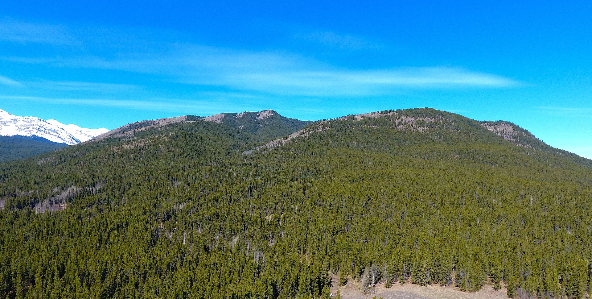
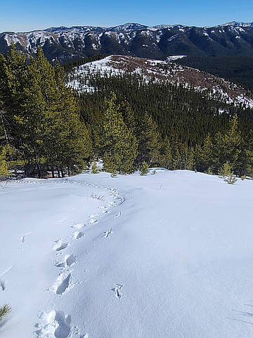
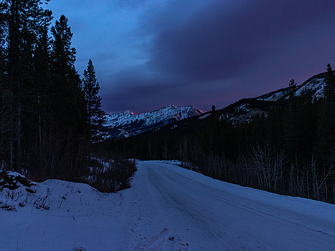
Photos
Awards
About peakery awards
Log climbs on peakery to earn awards:
Peak Badges: Earn a special badge for each unique peak you summit. See all of your badges on your Badges page.

First Ascent Award: Only 1 available per peak. Goes to the first peakery member to log a successful summit of a peak. Snag this award and the peak will forever bear your name.

King of the Mountain Award: Only 1 available per peak. Summit a peak more times than any other member. Beware: this award can be lost!

Summit Steward: Summit a peak at least 5 times to become one of its Summit Stewards. As Steward of a peak, you’re encouraged to keep that peak’s info up-to-date on peakery and spread goodwill on your future climbs up the peak.