
Region
Highlights
Routes
4 climbs • 5.2 km • 730 m gain • 1 hr 5 min
1 climb • 12.7 km • 1,413 m gain • 3 hr 38 min
1 climb • 4.9 km • 652 m gain • 1 hr 54 min
Latest climbs
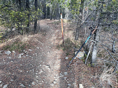
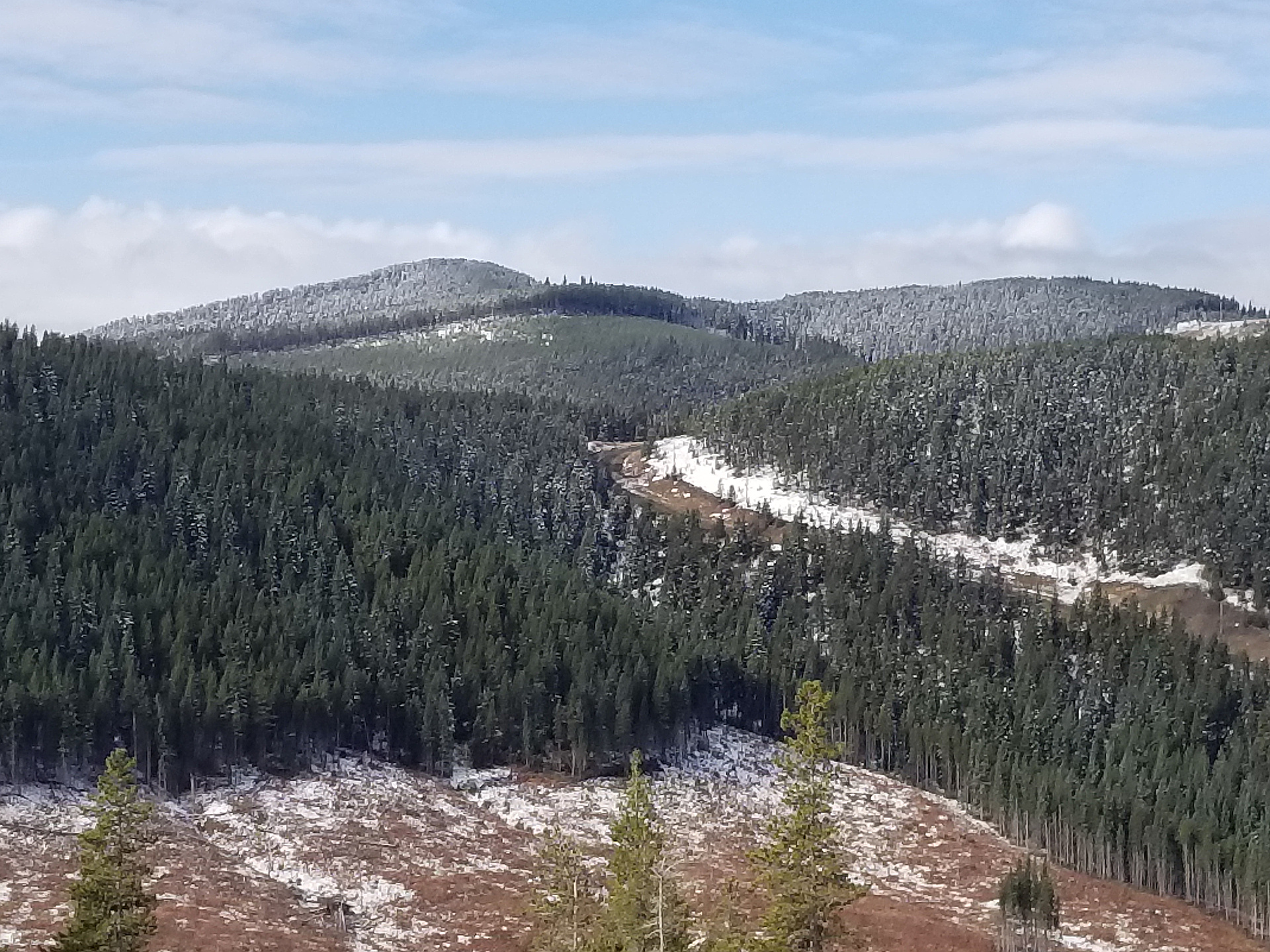
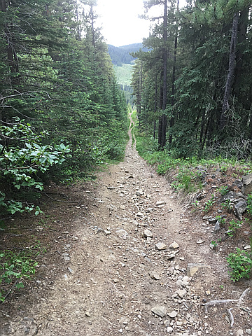
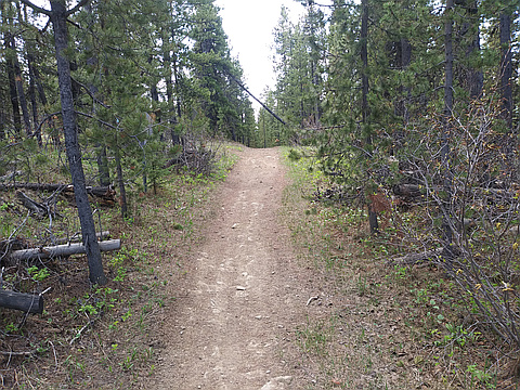
"Followed OHV trails and gas exploration roads. Easy travel. Extended hike towards scenic SE ridge from the summit. Top itself is uneventful with no views. Warm weather, dry conditions." — PawelG • Nov 22, 2025
"Earlier in the day attempted Compression Ridge but turned back because of strong winds at the Treeline below Nihahi ridge. So I explored Prairie creek from head waters to Rock Point. On the drive home decided to bag this peak. Via west cutline (OHV trail)" — Randy • Jun 12, 2018
"Drove up to the gate and walked by bike up the road. Got to the gas plant and then continued pushing the bike up. I was hopeful that I might be able to bike off the summit. At a certain point the trail seems to curve around so I decide to lock up the bike and bushwhack up along the barbed wire fence, thinking that there would have been some clearing alongside. There was not. Many trees has fallen on the fence. Because it was not far to the summit, I pushed on. Just before the summit I crossed two excellent trails. Took pictures, etc, and decide to explore the trails. Doh! Turns out I could have just used the trails to get to the top. So I walked back, got my bike, and biked off the summit after all." — BertB • May 26, 2018

"Whiskey Ridge wasn't in Peakery when Bert and I cleaned up this area last year...so since I was hitting Barwell, I couldn't resist getting in this last one especially since the road was open to the access road. About 1.5km up came to the gas plant and road split with trail where a black cougar (see pic I borrowed from the Internet) with cat motions and a long tail ran up the trail - assume he was hanging around the baby cows...Corralled the cows enroute who were surprisingly skilled at bushwacking and even found a break in the barbed wire fence. The summit was a wander through slash to an eventual trail and geo marker sign post and cairn. Down the trail to the road and out." — alexjoseph • Sep 23, 2017
Photos
Awards
About peakery awards
Log climbs on peakery to earn awards:
Peak Badges: Earn a special badge for each unique peak you summit. See all of your badges on your Badges page.

First Ascent Award: Only 1 available per peak. Goes to the first peakery member to log a successful summit of a peak. Snag this award and the peak will forever bear your name.

King of the Mountain Award: Only 1 available per peak. Summit a peak more times than any other member. Beware: this award can be lost!

Summit Steward: Summit a peak at least 5 times to become one of its Summit Stewards. As Steward of a peak, you’re encouraged to keep that peak’s info up-to-date on peakery and spread goodwill on your future climbs up the peak.