
Region
Highlights
Routes
3 climbs • 6.3 mi • 2,955 ft gain • 6 hr 35 min
1 climb • 10.1 mi • 3,820 ft gain • 5 hr 53 min
1 climb • 10.8 mi • 3,813 ft gain • 7 hr 4 min
1 climb • 3.1 mi • 20 ft gain • 1 hr 53 min
1 climb • 7.6 mi • 3,353 ft gain • 10 hr 49 min
Latest climbs
"Due to Mt. Charleston (Spring Mountain National Recreational Area) being closed because of the extensive damage done by Hurricane Hilary, we had to come up with a hike that would be in cooler temps. So, La Madre Wilderness it was. We hiked in 70 degree temps for most of the hike, peaking out in the low to mid 80's by the end of the hike. Not bad! The road to the trailhead has been severely washed out 1 mile from the trailhead. I drove the route 2 days before the hike and discovered this. Well, after about an hour with a shovel, I was able to fill in the wash enough and cut the banks of the wash enough to pass through it. Definitely HIGH clearance needed.....and 4WD....and short wheel base....and steep approach angle designed vehicle....otherwise you are going to be pushing gravel and rocks with the front of your vehicle. Or, just hike the last 1 miles (2 miles return). The last 3/4 of a mile on the descent could be done better. We should have been on the ridge line to east of us. It didn't cost us any additional distance the was we went, just a little elevation gain to get back to the trailhead. It was a great route that worked for us. Have fun and enjoy the spectacular views if yo..." — Heartattackbruce • Aug 27, 2023

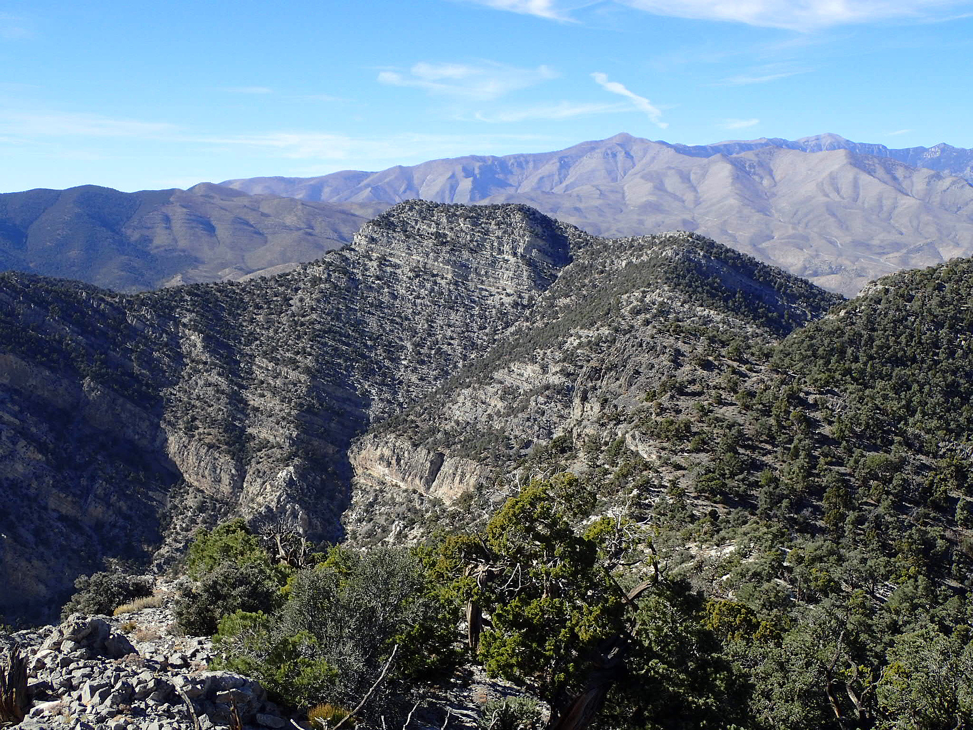
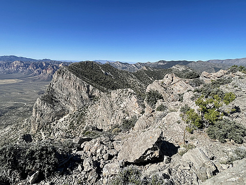
"We parked at the White Rock Springs trailhead and took the White Rock Loop trail for a while, before heading up a steep, loose gully toward a 'notch' in the limestone. This route was published as 'La Madre Notch' in Branch Whitney's original Hiking Las Vegas book. From the notch, we headed north up a knife-edge ridge to gain the main east/west ridgeline. Once at the main ridge, we headed east along the ridge until we were at a place just south of El Bastardo. The overhung cliff bands prevented a direct ascent, so we traversed north below the cliffs, losing altitude until we found a break that we could ascend. We climbed up through the cliffs and then headed south, back to the summit. Once there, we heard someone yelling and noticed a lone figure on the ridge we were on previously. This is not a place that normal people go; my only guess is that he saw us going up in the beginning and decided to try to follow. Either way, he turned back.
We descended down the EXTREMELY steep and loose gully just east of the summit. We had to descend one at a time in stages to avoid setting rocks loose on each other. Once we got down to the bend in the gully, there was a big dryfall that..." — Kevin • Feb 3, 2018
Photos
Awards
About peakery awards
Log climbs on peakery to earn awards:
Peak Badges: Earn a special badge for each unique peak you summit. See all of your badges on your Badges page.

First Ascent Award: Only 1 available per peak. Goes to the first peakery member to log a successful summit of a peak. Snag this award and the peak will forever bear your name.

King of the Mountain Award: Only 1 available per peak. Summit a peak more times than any other member. Beware: this award can be lost!

Summit Steward: Summit a peak at least 5 times to become one of its Summit Stewards. As Steward of a peak, you’re encouraged to keep that peak’s info up-to-date on peakery and spread goodwill on your future climbs up the peak.