Region
Most climbed route
Highlights
Routes
/-117.95330196585377,34.34163113591366,11,0.00,0.00/320x240@2x?access_token=pk.eyJ1IjoicGVha2VyeSIsImEiOiJjampra3Z0bnAxeTVnM3FteHlybHY3b2p1In0.7a5dEa5-995VUv8ceHHNmw)
1 summit • 4.2 mi • 1,033 ft gain • 2 hr 49 min
Latest summits

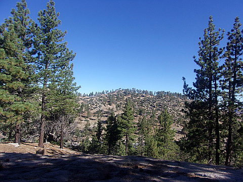
"Parked at a wide parking area with a restroom, picnic table, and dumpster which is east of Three Points on Angeles Crest Highway. The spot is known as "6000 Ft Day Use" on Google Maps. There is a gated dirt road on the east end of the parking area. Instead of taking the road, I picked up a use trail going straight up the slope before the gate. The trail continues up the steep slope all the way to Delight Peak. It is a short walk from there to Double Delight Peak. Nice to see that most of this area escaped fire damage from the recent fire. I returned the same way." — MikeTeeples • Apr 16, 2022
"Peak 1 of 2 on a lovely day along the middle ridge west of Waterman. I parked at the large turnout with a toilet and some benches a few miles between Santa Clara Divide Rd and Waterman Ski Area. I took a combination of old road bed, use trail, and cross-country to gain the ridge, including going up a steep gully. I started on a road bed that has a gate at the turnout, and then soon took a small path, heading straight as the 1st roadbed veers right (west). The old roadbed is deteriorated, so at times, it appears as a single-track use path at times, and at other times, it seems to nearly disappear, as I headed in a generally southeast direction. I came to a point where the path seems to fade away and thought I was then following a game path that disappears as I round the side of a ravine, and where the footing is slippery over loose soil and pine/fir needles. I then found the gully, and then I decided to follow it up gaining only slightly better footing over pine cone collections in the gully. The gully widened, and then by chance, I found a ducked use path near it! I followed the use path to the ridgeline, and the rest was simply finding which summit was Delight. The ridgeli..." — brianpowell • Aug 26, 2018
Photos
Awards
About peakery awards
Log successful summits on peakery to earn awards:
Peak Badges: Earn a special badge for each unique peak you summit. See all of your badges on your Badges page.

First Ascent Award: Only 1 available per peak. Goes to the first peakery member to log a successful summit of a peak. Snag this award and the peak will forever bear your name.

King of the Mountain Award: Only 1 available per peak. Summit a peak more times than any other member. Beware: this award can be lost!

Summit Steward: Summit a peak at least 5 times to become one of its Summit Stewards. As Steward of a peak, you’re encouraged to keep that peak’s info up-to-date on peakery and spread goodwill on your future climbs up the peak.