New Jersey peaks
New Jersey summits
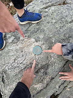
First Ascent Awards
184 of 238 peaks 77%
Top climbing months
September 11%
July 10%
May 10%
New Jersey mountains highlights
Latest summits

"Beth and I ran 12 miles in the morning then we were off to High Point, NJ to claim another state HP. We were supposed to bag Marcy this weekend but HS soccer got in the way. Jersey was the next best option. It was a 3 hours drive up to High Point State Park (with a lunch stop in Scranton, PA) - then we stretched our legs for a quick 3 mile hike around Monument Trail Loop to the High Point monument." — wiweasel • Sep 3, 2023

"Completed Acropolis trail on the south side of 206 and returned to the Culver’s Gap parking lot just as the sunset. Driving up Sunrise Mountain Road, I stopped at the Tower Trail, put on a headlamp and hiked as fast as I could to the top. Anything to spend more time in the woods! The twilight view did not disappoint!" — bruno-osb • Nov 17, 2022

"Amazing hike to the summit of Mount Tammany. There were clouds under us and the views were excellent. After the summit we went down and took a different trail toward Sunfish Pond. Great Day!" — JONNYFL • Oct 15, 2022
"Perfect Autumn day for this HP. Traveled over from Delaware the day before. Number 18 for us in total. Parked at the bottom car park and walked up a quick half mile trail. Was very busy at the top as most people just drive up and park. A really nice monument was built there but closed on the day. Beautiful views all around." — CravinoCrew • Oct 23, 2021
"Started at Stony Lake and hiked Tower Trail up to AT, then AT along the ridge to Sunrise Mountain, took Blue Mountain connector down to Blue Mountain, to Tinsley, and from Tinsley hiked back to where I was staying.
Of note, I had an up close encounter with a porcupine just below the summit of Culver’s Ridge!" — bruno-osb • Oct 9, 2021