
Highlights
Routes
1 climb • 7.3 mi • 1,127 ft gain • 3 hr 36 min
1 climb • 8.4 mi • 1,093 ft gain • 5 hr 11 min
Latest climbs

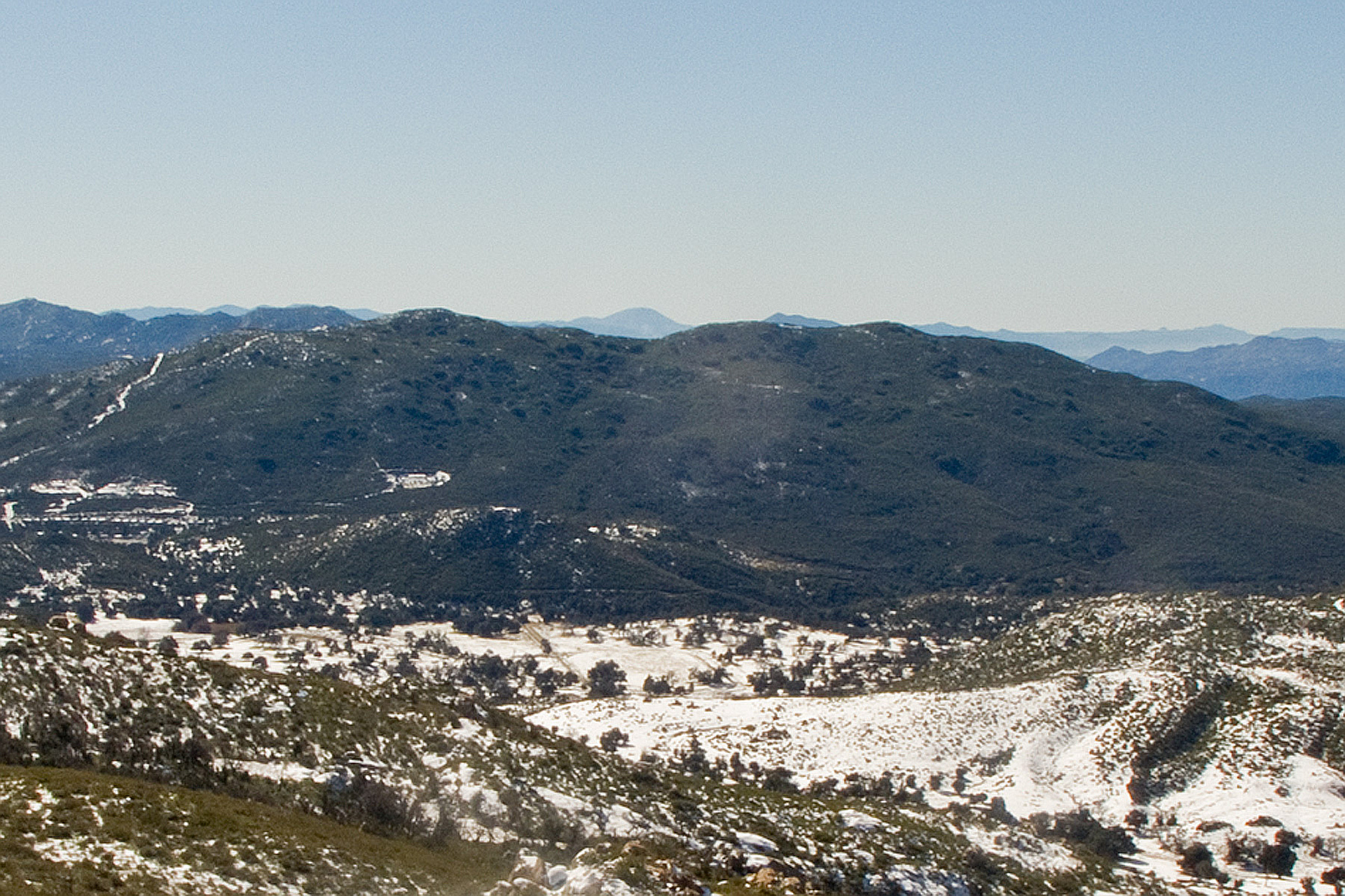
"Super windy red-flag warning day! But it was nice and chilly, which was perfect for all the bushwacking. No trail to Sugg peak. Followed various game trails up to the saddle then to the peak. It was tough and slow going. But it was an adventure and lots of fun.
" — yosinalissebeck • Nov 27, 2020

"We approached Sugg Peak from the saddle below Oakzanita peak. Most maps show Sugg peak as "Peak 5243". Those maps (including the USGS) do not show the trail that skirts the north side of the meadows to the west of the peak. Following this well-signed trail brings you back to E Mesa Fire Road north and slightly west of Sugg peak. There may be better ways to access the peak, but here we left the fire road and followed the meadow to its northeastern extreme end. Game trails take you to an opening in a barbed wire fence near an old homestead and silted-up dam. From there, we made a mostly due south cross-country approach to the peak, staying on the large granite slabs wherever possible. The brush that has grown back here since the 2007 fire is dense, and not to be trifled with." — benjineer • Nov 26, 2016
Photos
Awards
Challenges
About peakery awards
Log climbs on peakery to earn awards:
Peak Badges: Earn a special badge for each unique peak you summit. See all of your badges on your Badges page.

First Ascent Award: Only 1 available per peak. Goes to the first peakery member to log a successful summit of a peak. Snag this award and the peak will forever bear your name.

King of the Mountain Award: Only 1 available per peak. Summit a peak more times than any other member. Beware: this award can be lost!

Summit Steward: Summit a peak at least 5 times to become one of its Summit Stewards. As Steward of a peak, you’re encouraged to keep that peak’s info up-to-date on peakery and spread goodwill on your future climbs up the peak.