
Region
Most climbed route
Highlights
Latest climbs
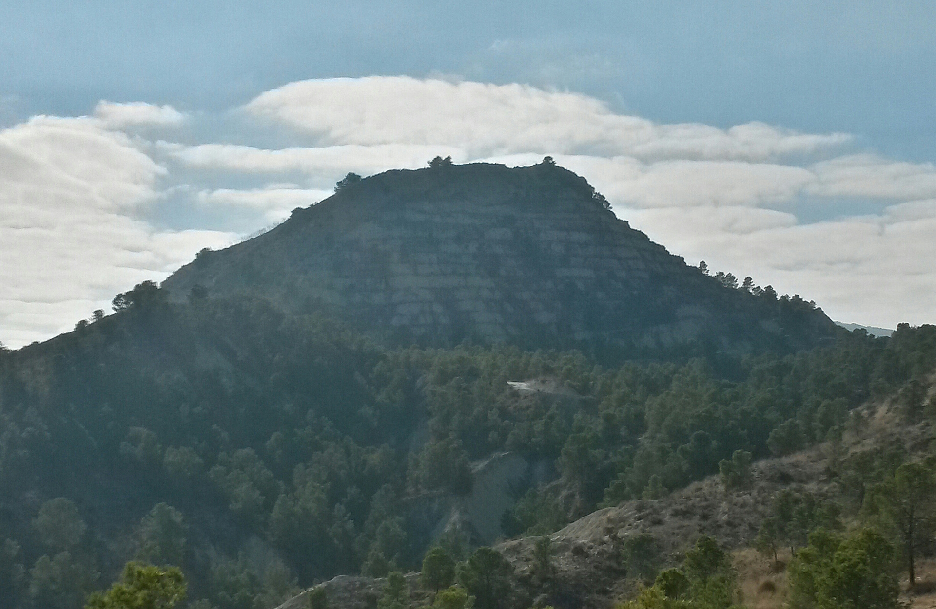
"These mountains, inhabited since the Bronze Age, were situated in a strategic and protected location, and also had access to natural resources such as water and game for survival. It appears they served as sites for pottery production, judging by the remains found. Currently, it's a place for sports or enjoying the views, and it boasts significant geological and scenic value.
I encountered people running, others walking their dogs, and some hiking.
On the side facing the Gebas Ravines, the silence was almost absolute; however, at the summit, one could hear the rumble of the highway that crosses the Guadalentín Valley with its heavy traffic of trucks loaded with goods." — franciscobirruezo • Nov 18, 2025
"Route to the protected landscape of the Barrancos de Gebas, specifically to climb the 401 m peak.
In this area there is a reservoir surrounded by bad lands, there were also prehistoric settlements from the Iron Age almost 3000 years ago, in fact on my route I find remains of old walls and many pieces of ceramics.
The uphill slope is steep without a path so it was a strategic point to dominate the valley, there would also be abundant game and water.
Nowadays it is a quiet place where residents of Librilla usually come to play sports and breathe fresh air." — franciscobirruezo • Feb 17, 2025

"Today my route is closer because gasoline in Spain is 1.50 euros per liter. It is a natural area near the Rambla de Algeciras Reservoir, the day as good as yesterday and better temperature (18 C).
They are nearby hills so I decide to climb four and eat in one of them.
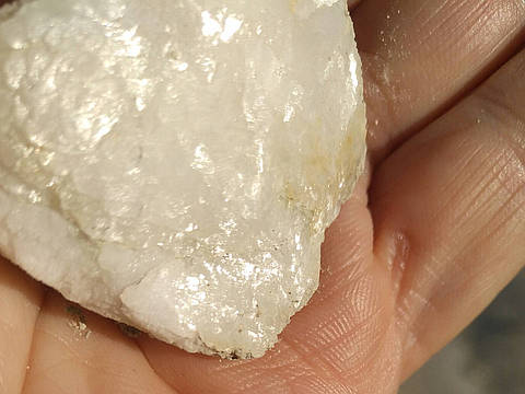
at the 307 m peak I almost hit it due to a floor full of rounded stones, I also see here a wolf spider sunning itself. I continue up to 332 m where I have some sandwiches, from here I move across the mountain to 349 m where I begin to have better views of the reservoir, on this mountain there are quite a few fossil shells. I decide to climb the 401 m, more complicated than the others due to the reforestation work
that were made years ago, creating terraces at different levels and that are eroded. The view from here is pretty good in all directions. I decide to go down a ravine helping me with the cane.
I have seen some partridges
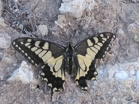
and quite a few butterflies today, I think this area has a milder climate due to the presence of the reservoir, in fact there were quite a few flowering plants." — franciscobirruezo • Jan 30, 2022
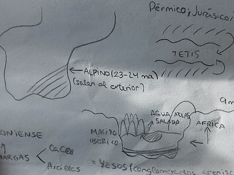
"This plaster mountain crumbles and you stumble at every step. I decide to take a fox trail but I finish at the edge of the cliff and turn around. In the end I only found a vulnerable pass to climb. From above I saw some students near the reservoir, some lost their field notes and I find them later.
It Is a clash of tectonic plates !!" — franciscobirruezo • Dec 15, 2017
Photos
Awards
About peakery awards
Log climbs on peakery to earn awards:
Peak Badges: Earn a special badge for each unique peak you summit. See all of your badges on your Badges page.

First Ascent Award: Only 1 available per peak. Goes to the first peakery member to log a successful summit of a peak. Snag this award and the peak will forever bear your name.

King of the Mountain Award: Only 1 available per peak. Summit a peak more times than any other member. Beware: this award can be lost!

Summit Steward: Summit a peak at least 5 times to become one of its Summit Stewards. As Steward of a peak, you’re encouraged to keep that peak’s info up-to-date on peakery and spread goodwill on your future climbs up the peak.