
Region
Highlights
Routes
17 climbs • 2.5 mi • 1,223 ft gain • 1 hr 41 min
2 climbs • 3.3 mi • 1,270 ft gain • 1 hr 50 min
Latest climbs

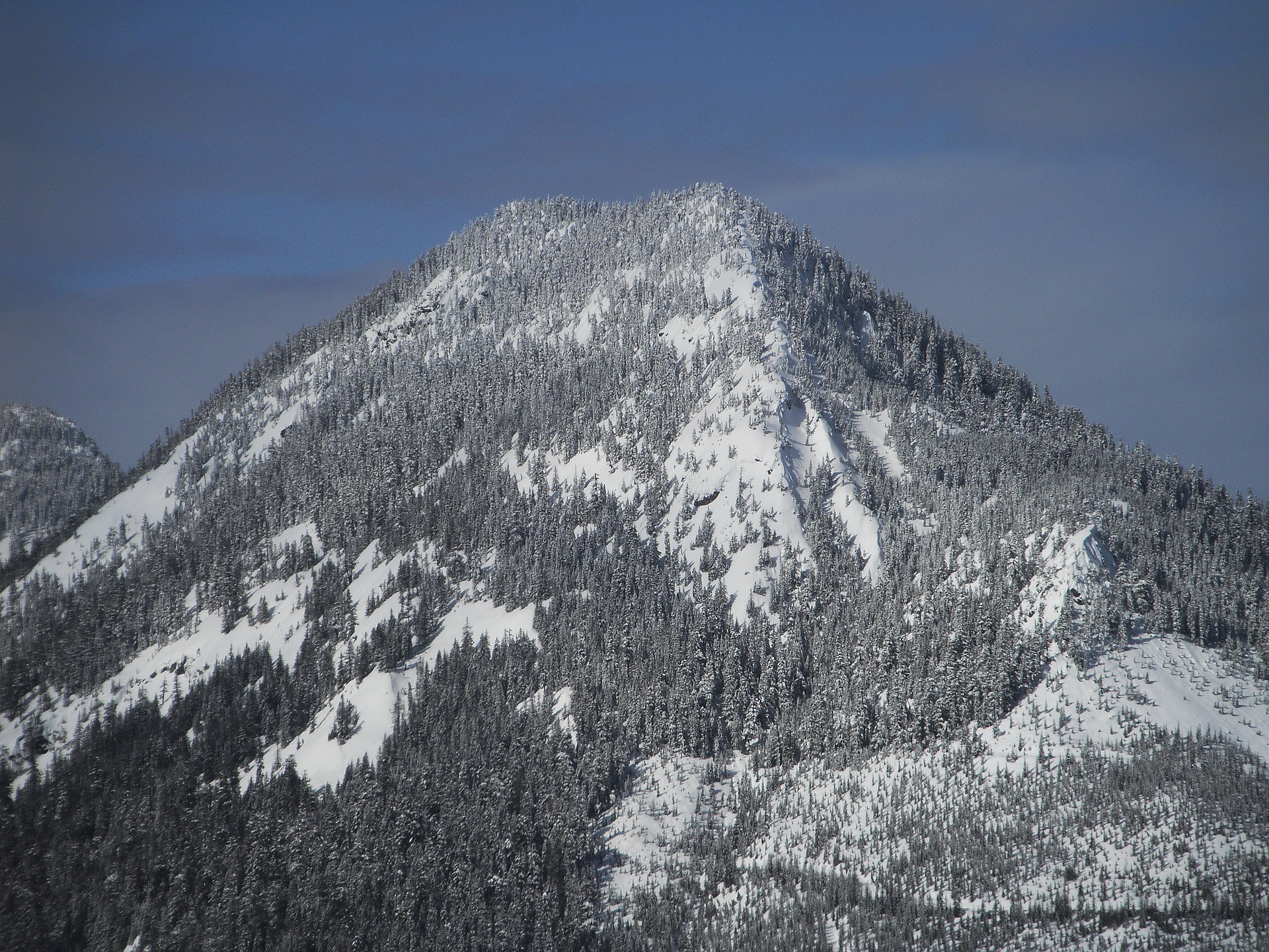
"Short hike up Mt Catherine. Was impressed to see a minivan at the trailhead, the road has a few rough washout sections that would've made it tough. Almost no snow left on the trail. Nice gentle breeze kept mosquitos away, except the one that I inhaled." — scott • Jun 29, 2020

"Great hike for a pup! If you don't have a high clearance vehicle park at the for Twin Lakes and take the coal creek trail to the mt Catherine trail. Adds 2 easy miles to the trip." — Happyjoecappy • Aug 5, 2018

"The road (FS Road 9070) up to the Mt Catherine trailhead is now clear of trees, though there are a few washed-out areas to drive over slowly and carefully. Foggy with no view, but no rain either. There is some snow at the start for a few hundred yards, then it's clear up to 4300 ft and then solid snow. With the trail obscured by snow, it is actually somewhat difficult to follow. Improvising up the ridge doesn't work very well since there are some cliffy rocks and steep sections that the trail skirts around. When I looked for where the trail should logically be, I found it pretty quickly. Also, a lot of fallen trees. Toward the top there is an open snow slope to cross that is a bit precarious. I crossed carefully, though I wish I had brought an ice axe. This would have been a much better hike in clear weather, as you would be able to see Granite nearby, and the whole vista around Snoqualmie Pass. C'est la vie!
1350 ft gain, 7 miles, 4 hours
" — markgarrett • May 23, 2016

"The road to the trailhead had very little snow on it for this time of year. Drove almost to the trailhead. Sunny and clear out the snow was frozen made for easy travel. Used ice axe at the top but otherwise great conditions." — rebecca1 • Jan 1, 2014

"We made it to the top in 45 minutes from the new? trailhead. From exit 54, just under 3 miles down road 9070, the trail is on the right side. There is no mention of Mt Catherine, just a sign marked 1348. This is a very mellow trail with only a few hundred feet of light scrambling near the top, and the only sketchy section is endowed with a cable. Thick clouds with scattered snow and rain meant no view today." — Jeb • Oct 31, 2011

"6 mile hike. Started at the Cold Creek trailhead, swinging by Twin Lakes before heading up the west ridge of Mt Catherine. The weather was warm and sunny affording excellent views from the summit - especially of the mountains around Snoqualmie Pass." — mtnhiker • Sep 2, 2010
Photos
Awards
About peakery awards
Log climbs on peakery to earn awards:
Peak Badges: Earn a special badge for each unique peak you summit. See all of your badges on your Badges page.

First Ascent Award: Only 1 available per peak. Goes to the first peakery member to log a successful summit of a peak. Snag this award and the peak will forever bear your name.

King of the Mountain Award: Only 1 available per peak. Summit a peak more times than any other member. Beware: this award can be lost!

Summit Steward: Summit a peak at least 5 times to become one of its Summit Stewards. As Steward of a peak, you’re encouraged to keep that peak’s info up-to-date on peakery and spread goodwill on your future climbs up the peak.