
Region
Highlights
Routes
1 climb • 2.4 mi • 2,210 ft gain • 6 hr 30 min
Latest climbs
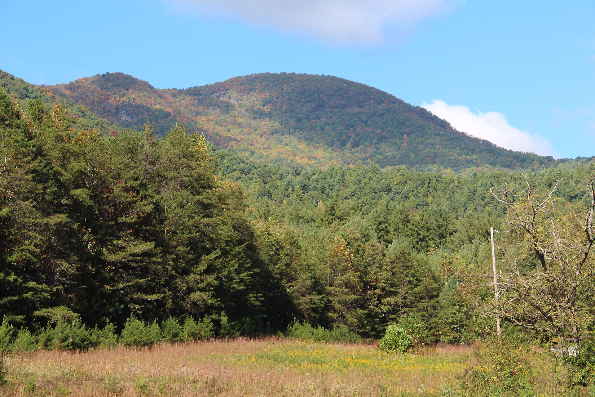
"This is likely the most difficult hike in Georgia due to the remoteness of this mountain. With me were Pat (KI4SVM), and my son Sawyer.
We took an approach from the north (North Carolina) instead of from the South (Georgia). This approach eliminated a hike on the AT and a shorter hike overall. The hike was 2.5 miles one way with 2220' EG. There is plenty of parking at the end of Eagle Fork Rd where there is a locked forest service gate. The first mile is on an old forest road and crosses Loggy Branch creek and is an easy hike. The creek is easy to hop across at that point. Shortly after that we left the road and made a cut to the ridge line but I think the road may intersect the ridge at some point further down. This is the ridge that sits between Loggy Branch creek and Sugar Cove. Once on the ridge we found another old logging road and followed that part way up the ridge. It ended just shy of some mountain laurel about 2/3 the way up. I was worried that it would be too thick but ended up being fairly easy to navigate through along with the 26% grade slope. It was approaching what I call difficult but not as bad as some other hikes I have done. Once we reached the intersection wit..." — rkovacs • Mar 4, 2017
Photos
Awards
Challenges
About peakery awards
Log climbs on peakery to earn awards:
Peak Badges: Earn a special badge for each unique peak you summit. See all of your badges on your Badges page.

First Ascent Award: Only 1 available per peak. Goes to the first peakery member to log a successful summit of a peak. Snag this award and the peak will forever bear your name.

King of the Mountain Award: Only 1 available per peak. Summit a peak more times than any other member. Beware: this award can be lost!

Summit Steward: Summit a peak at least 5 times to become one of its Summit Stewards. As Steward of a peak, you’re encouraged to keep that peak’s info up-to-date on peakery and spread goodwill on your future climbs up the peak.