
Region
Most climbed route
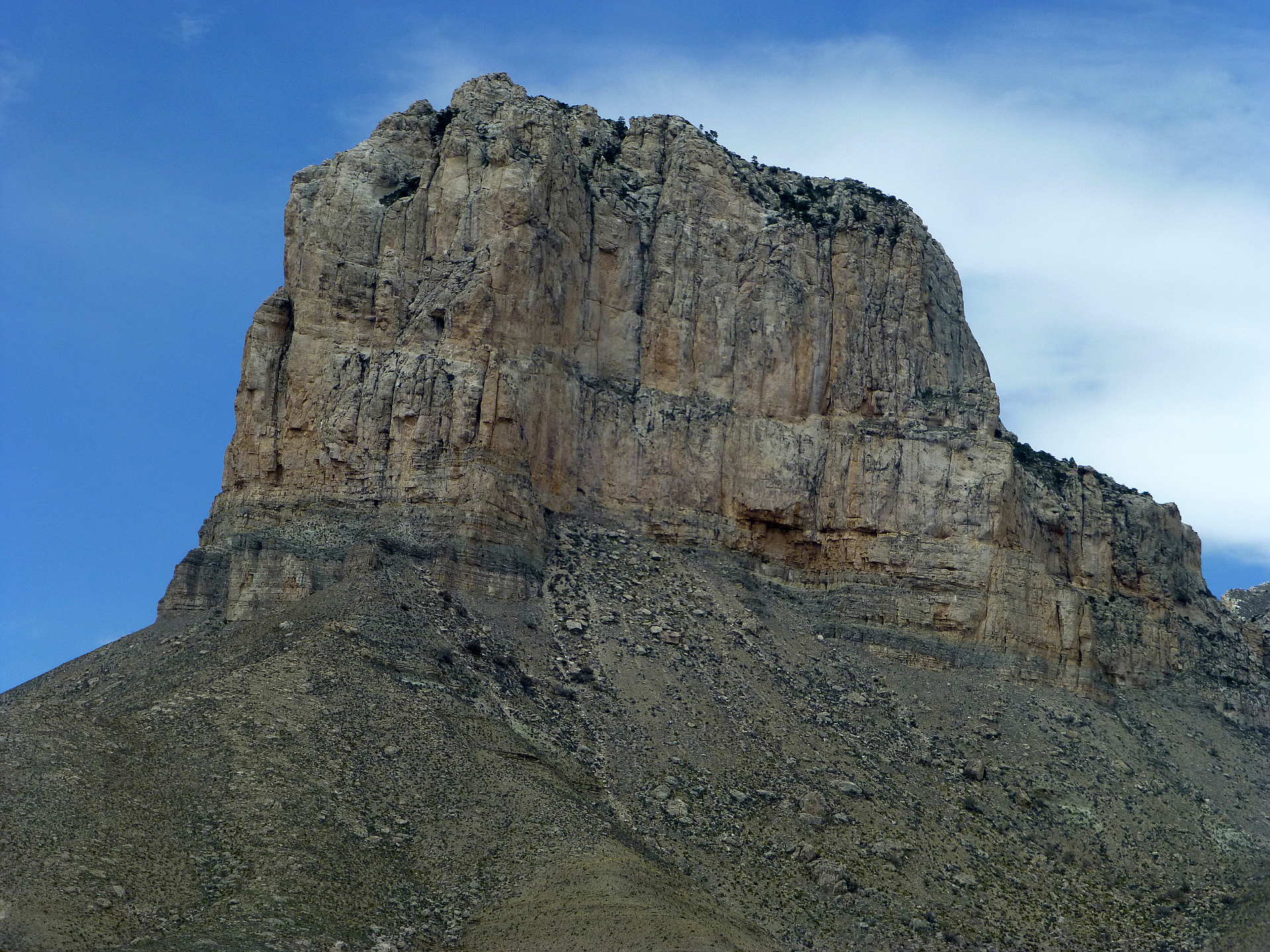
Highlights
Routes
1 climb • 9.4 mi • 3,732 ft gain
Latest climbs

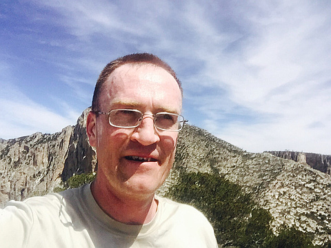
"Ran up, ran down. Crushed it. Tried to bushwhack my way to El Cap out on the ridge but turned back on account of time and not wanting to step on a rattlesnake. Stoved my finger into rock when I fell running back down the mountain. Now it won’t straighten out 🤣🤦♂️" — wiweasel • Sep 30, 2023
"This made the hike up Guadalupe Peak feel like a walk in the park. Awesome views along the cliff top. Scramble looked a lot worse than it was. Warm and windy day in November, can't imagine being up there in the heat of summer." — beaucheminjess • Nov 18, 2019

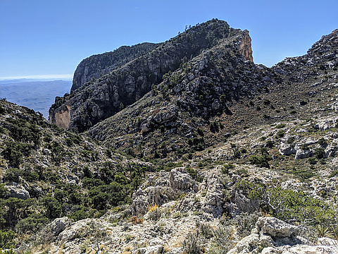
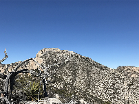
"Dropped off the GP trail around 7:30am. Took a little under 5 hours to get to the summit and back. Once we dropped off the GP trail, we headed down to close to the bottom of the saddle before heading up and to the west to the western ridge. Followed the ridge to the "close but no cigar" summit and then on to the true summit. Awesome but scary sheer drop offs if you dare look over the edge all along the western side." — Saucerito • Mar 25, 2017
"Lots of respect for the Texas Mountains in winter from a couple of Northwesterners. We drove across the state from San Antonio to attempt the Texas state high point along with a traverse to El Capitan. Wind forecast was for 25-30 mph with 45 mph gusts and the wind delivered. Snowed the day before, so we made tracks up to the summit of Guadalupe. We never would have known that we were going to run into snow based on the bright sunny morning at sunrise as we left the trailhead. The north side of the mountain was very shady and windy however, and the snow was there to stay about 2 miles in. Fantastic, clear day, with excellent views in all directions from the summit. Was that Wheeler Peak way to the north in New Mexico? Big snow covered peak on the horizon.... We were able to find refuge from the wind behind some rocks at the summit, and we saw just one other couple.
We made our way back down the trail, and bushwhacked towards El Capitan roughly following the route outlined on summit post.org. With visibility as it was, it was easy to take a straight shot over to El Capitan and then up the backside. Got a couple of good "bites" from the cactus on bushes on the way over and up, but..." — BryHong8 • Jan 22, 2017
"I've seen this peak and studied the route many times to know what I was getting into, but I summited in complete fog/cloud cover. I could only see around 100-200 feet at most in front of me, so the route was not visible. I could see nothing looking down from the Guadalupe peak trail, but knew where I had to go. I made it down to a wash and then went more to the right, got to the ridge, then followed that to the summit. There is a false summit with a summit marker, but the true summit is beyond there, which I found. I made it back up with no problems, but no views. Oh well, you can't always have a great view, but it was a fun hike anyway." — ZachTeich • Nov 26, 2016
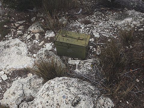
"After reaching the summit of Guadelupa peak I followed the switchbacks back down and followed a spur down to the main drainage. From there you continue down until you reach the saddle. In tge saddle it was extremely windy. More so than at the summit. At the summit you will find a registry. However wandering around the summit I think there are a couple points slightly higher than the registry. " — jouv236 • Apr 15, 2016
Photos
Awards
Challenges
About peakery awards
Log climbs on peakery to earn awards:
Peak Badges: Earn a special badge for each unique peak you summit. See all of your badges on your Badges page.

First Ascent Award: Only 1 available per peak. Goes to the first peakery member to log a successful summit of a peak. Snag this award and the peak will forever bear your name.

King of the Mountain Award: Only 1 available per peak. Summit a peak more times than any other member. Beware: this award can be lost!

Summit Steward: Summit a peak at least 5 times to become one of its Summit Stewards. As Steward of a peak, you’re encouraged to keep that peak’s info up-to-date on peakery and spread goodwill on your future climbs up the peak.