Highlights
Routes
/-84.23453174062318,34.53673505355634,11,0.00,0.00/320x240@2x?access_token=pk.eyJ1IjoicGVha2VyeSIsImEiOiJjampra3Z0bnAxeTVnM3FteHlybHY3b2p1In0.7a5dEa5-995VUv8ceHHNmw)
1 summit • 6.1 mi • 503 ft gain • 3 hr 56 min • Class 2
Latest summits
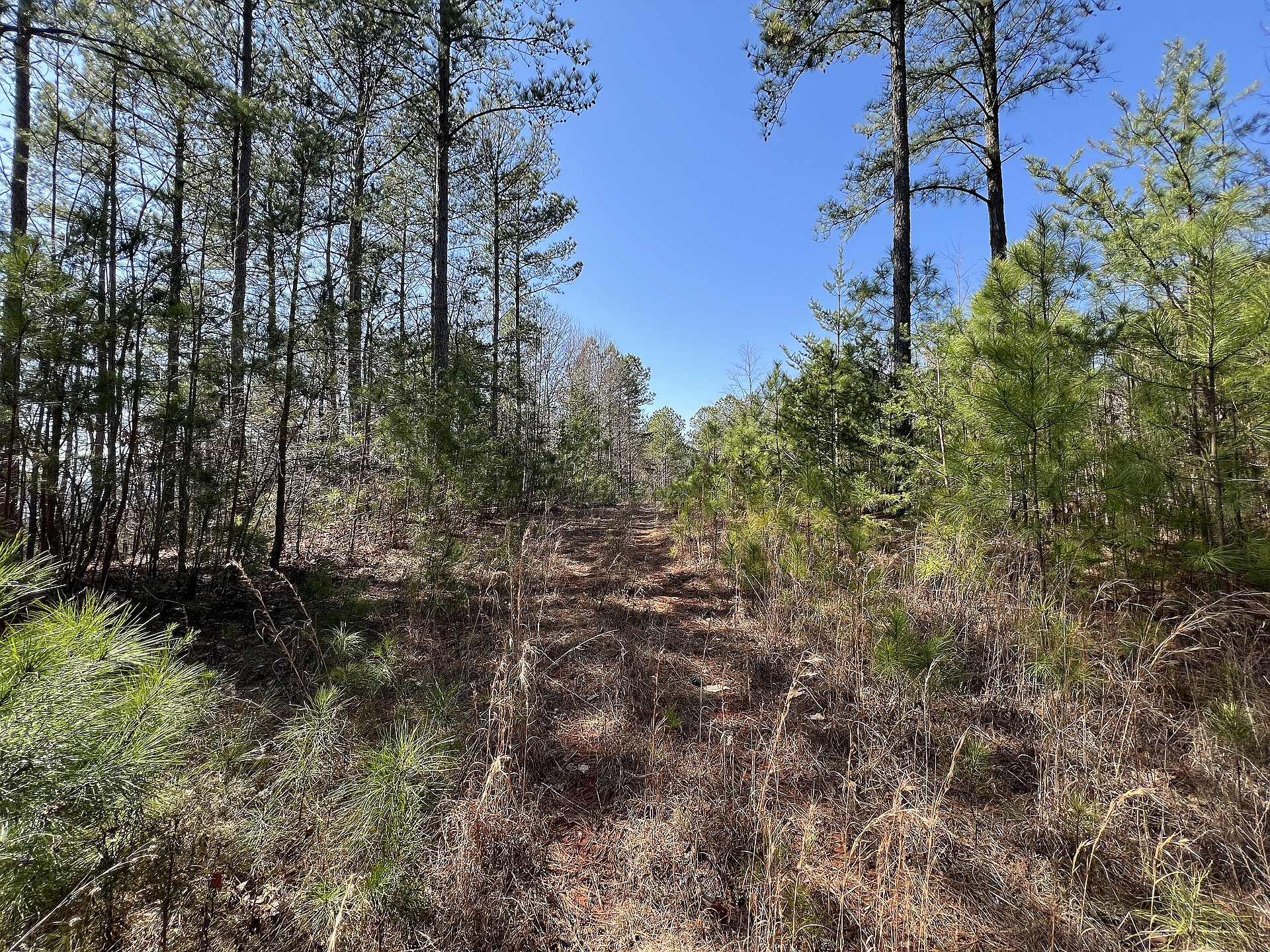
"Peak 2020 ft was an easy but steep hike up a public dirt road. The real adventure was the other three peaks. Gina dropped us off at the intersection of Fern Valley Road and Mountain Crest Road, and we hiked up the latter. Going over Peak 2020 ft and heading toward Peak 1952 ft, we turned back at the No Trespassing signs. As we were leaving the dirt road, we stopped at Wildlife Management Area (WMA) boundary signs and used our phones to order licenses to proceed. We had planned to follow the ridge line around to Peak 1981 ft, but No Trespassing signs forced us to bushwhack around the property corner up and down steep side slopes. After reaching Peak 1981 ft, it appeared the rest of the Grogan Mountain hike would be blocked by private property, and I was not ready to go back the same way, so we took the easy road down, thinking we might find another way back to the stating point or out to the road where Gina could pick us up. When we reached the intersection, we saw the road signs indicating we had come down Myrtle Beech and were turning onto Upper Block Branch. Perhaps a Class 1 route to Peak 1981 ft might be achieved from the west on Upper Block Branch, but we turned east and foun..." — davidensley • Feb 26, 2024
Photos
Awards
About peakery awards
Log successful summits on peakery to earn awards:
Peak Badges: Earn a special badge for each unique peak you summit. See all of your badges on your Badges page.

First Ascent Award: Only 1 available per peak. Goes to the first peakery member to log a successful summit of a peak. Snag this award and the peak will forever bear your name.

King of the Mountain Award: Only 1 available per peak. Summit a peak more times than any other member. Beware: this award can be lost!

Summit Steward: Summit a peak at least 5 times to become one of its Summit Stewards. As Steward of a peak, you’re encouraged to keep that peak’s info up-to-date on peakery and spread goodwill on your future climbs up the peak.