Region
Highlights
Routes
/-117.663899323463,34.3827105642033,11,0.00,0.00/320x240@2x?access_token=pk.eyJ1IjoicGVha2VyeSIsImEiOiJjampra3Z0bnAxeTVnM3FteHlybHY3b2p1In0.7a5dEa5-995VUv8ceHHNmw)
1 summit • 7.9 mi • 915 ft gain • 3 hr 16 min
1 summit • 5.4 mi • 2 hr 14 min
1 summit • 5.4 mi • 201 ft gain • 1 hr 46 min
1 summit • 5.7 mi • 942 ft gain • 2 hr 11 min
Latest summits

"Began the hike from Angeles Crest Highway. Utilized the signed trail for “East Table Mountain Trail”. This is a surprisingly well maintained trail leading up to FR4N21. The road goes the rest of the way to the peak. This route is a little more difficult than the hike from Table Mountain Rd but it is more rewarding. Got creative on the way back by turning the hike into a semi loop." — MikeTeeples • Jul 1, 2023

"Began the hike from a different starting point than from the East Table Mountain Trail on Highway 2. This time, I began where Table Mountain Rd meets FR 4N21. I followed 4N21 east on a paved road. To get the job done, it is a rather easy walk to Mt Peltier by just sticking to the paved road. That would be about 5 miles r/t with a 500 foot elevation gain. However, I was preoccupied with finding a route that goes east and leads to East Table Mountain, which is my only remaining Wrightwood area summit. Because of that, I did some exploratory hiking down dirt roads and use trails. I wound up finding a great overlook of East Table Mountain, but a good route is still to be determined. My alternate attention certainly made the hike more interesting, though, since the peak hike of Mt Peltier is rather straightforward on the forest road. Peaceful afternoon on Table Mountain Ridge, where I had it all to myself!" — MikeTeeples • Jul 5, 2020
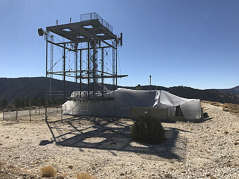
"While spending many trips up Angeles Crest Highway over the years, I did not know this trail was here. Perhaps because Mountain High Ski Resort is across the road, my attention was probably toward the slopes most of the time. Nobody else was parked in the dirt lot, which left the trail to my use alone on this visit. The trail gradually climbs a forested slope to some big trees in the forest. After a mile, the pathway crosses a service road. I continued hiking on the dirt trail before it eventually ended at the paved road a little bit later. From there, I followed the road to the summit. Although the pavement takes away a bit of the wild feel, the mountain is still rather secluded and peaceful. This was an enjoyable hike and a great place to visit." — MikeTeeples • Oct 28, 2017
Photos
Awards
About peakery awards
Log successful summits on peakery to earn awards:
Peak Badges: Earn a special badge for each unique peak you summit. See all of your badges on your Badges page.

First Ascent Award: Only 1 available per peak. Goes to the first peakery member to log a successful summit of a peak. Snag this award and the peak will forever bear your name.

King of the Mountain Award: Only 1 available per peak. Summit a peak more times than any other member. Beware: this award can be lost!

Summit Steward: Summit a peak at least 5 times to become one of its Summit Stewards. As Steward of a peak, you’re encouraged to keep that peak’s info up-to-date on peakery and spread goodwill on your future climbs up the peak.