
Region
Highlights
Routes
4 climbs • 4.5 mi • 1,612 ft gain • 4 hr 56 min
Latest climbs

"Ho boy. So this was a trip. Started on the dirt road trail as advertised on this peaks page and on Alltrails. The elevation said 1.2k over the course of the whole experience, which was fine. "I've done this before," I thought to myself. Forgetting that this was dubbed easy when I was 50lbs lighter and in the best shape of my life haha.
Anyway, this fairly straightforward trail turned into quite the adventure. I took a wrong turn and instead of going up the power line trail, I ended up in the wash directly next to and below it. Whoops. It was worth it though, because a boarded up mine was a little ways up it.
Anyway, near the end of said wash, it came to a halt, so a steep climb up screen to the side of the hill to the power cable road it was! Numerous breaks later, the ridgeline was in the bag. At this point, I knew I would never come back here so I had no choice but to off Ophir and Davidson in one go.
Ophir was easy and the rest on the rocks next to it was much needed. I did hit up Davidson afterwards and it looks like the old "no trespassing" sign was no longer around. Davidson was a treat, but a lot of ups and downs getting there! Appreciated the carvings from the 1800s. ..." — alexehagen • May 21, 2022

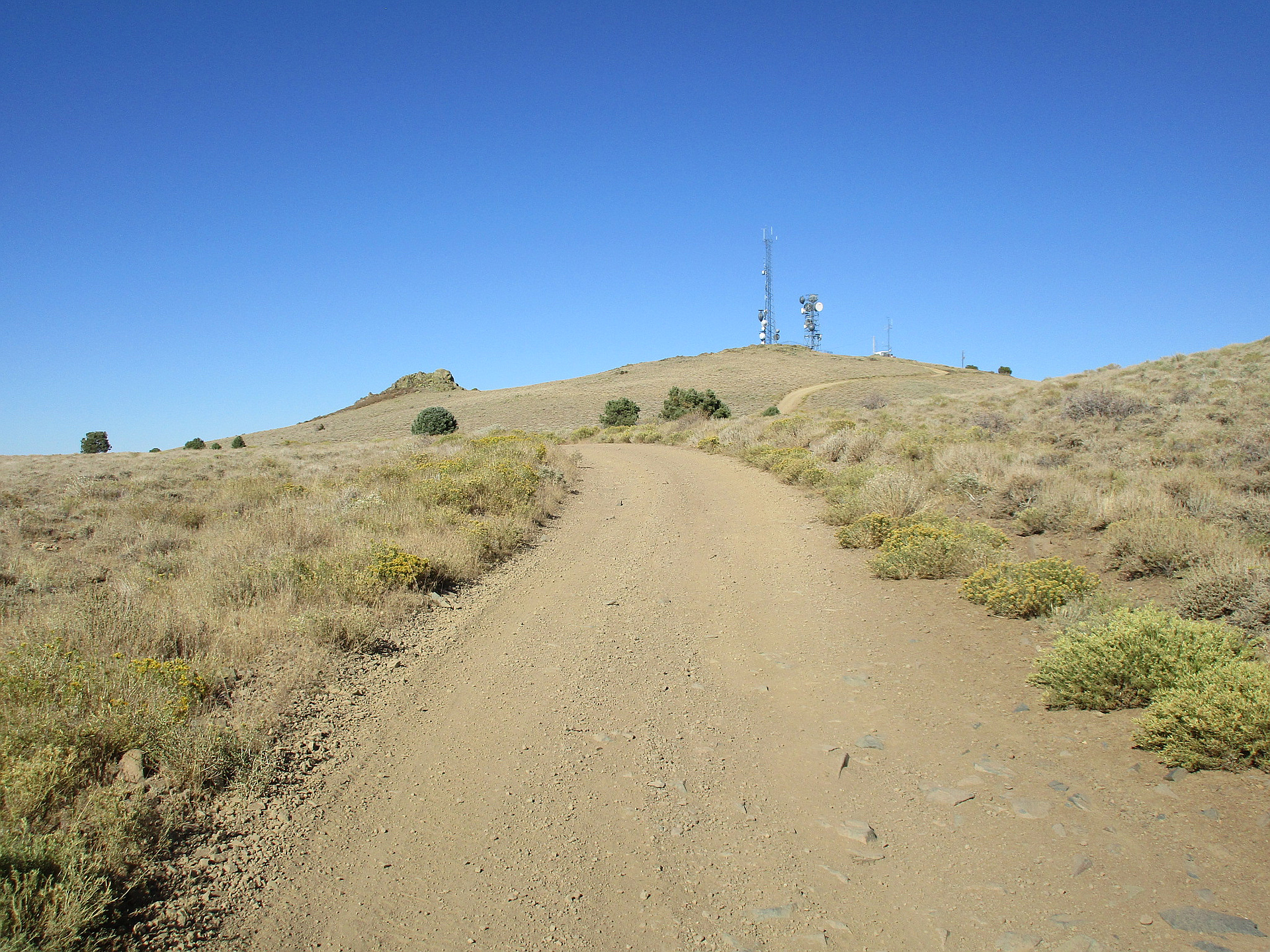
"We dropped down to Virginia City from Reno via Geiger Pass. Headed up the dirt road that goes by the water tank then took the telephone poles up to ridge. Up to the telecommunication tower on Ophir Hill before heading out to Mt Davidson." — Nimblefoot • Jul 18, 2015
Photos
Awards
About peakery awards
Log climbs on peakery to earn awards:
Peak Badges: Earn a special badge for each unique peak you summit. See all of your badges on your Badges page.

First Ascent Award: Only 1 available per peak. Goes to the first peakery member to log a successful summit of a peak. Snag this award and the peak will forever bear your name.

King of the Mountain Award: Only 1 available per peak. Summit a peak more times than any other member. Beware: this award can be lost!

Summit Steward: Summit a peak at least 5 times to become one of its Summit Stewards. As Steward of a peak, you’re encouraged to keep that peak’s info up-to-date on peakery and spread goodwill on your future climbs up the peak.