Region
Most climbed route
Highlights
Routes
/-116.709184,34.1921032,11,0.00,0.00/320x240@2x?access_token=pk.eyJ1IjoicGVha2VyeSIsImEiOiJjampra3Z0bnAxeTVnM3FteHlybHY3b2p1In0.7a5dEa5-995VUv8ceHHNmw)
1 summit • 6.2 mi • 440 ft gain • 2 hr 29 min
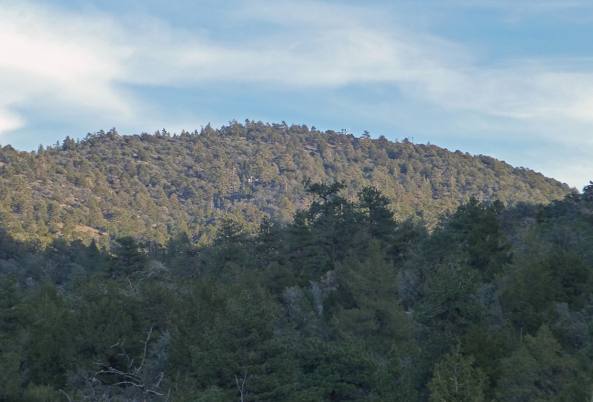
Latest summits

"Straight up the West Face from Onyx Summit parking area. Lots of families out enjoying the snow. There was a lot of brush and trees on the face, so I dropped my snowshoes about half way up which was a mistake. The last quarter mile on the flatter summit area was non-stop post-holing. Cool views out across Joshua Tree and the desert." — edg • Dec 9, 2018

"Although the peak is probably about a mile away from the parking area, I followed the meandering Onyx Peak Road to the summit. Since the road hike is 6 miles, then there is no need for me to say that the route to the top is indirect! In retrospect, there was a number of times I thought that I could simply go in a cross country route and avoid the majority of the road. But since I've never been there before, I just took it easy and followed the road. I would have made it to the top either way, except this way I got a few more miles under my belt. The day started out with high expectations of completing 3 or 4 peaks. However, after finishing off Onyx Peak, the rest of the day kind of evaporated into exploring Holcomb Valley (which I wanted to visit for many years now) and scouting out other hiking sites. I also spent a good amount of time driving the bone jarring length of Holcomb Valley Road which exited near the Doble Mine Site and Gold Mountain. By the time I reached pavement again, I was tempted to get out of my vehicle and kiss the solid roadway! After that, enjoying the rest of the day at home seemed more pleasing than climbing nearby Silver Peak. Maybe next time." — MikeTeeples • Oct 21, 2017

"Easy hike up Pacific Crest Trail and Dirt Road (1N01), and peak service road to summit. The hike to Onyx Peak starts at a parking area at Onyx Summit at 8,443'. Walk up the semi-steep road, paved at first, then dirt and join the Pacific Crest Trail in about 100 yards, and hike left (north) for about a mile until reaching 1N01, and bear slight right onto the dirt road, still going roughly north. The road will curve to the east and then to the south and then after an "S" curve, there will be a fork in the road. Bear very slightly right, as this is the service road to the summit, and bearing left gradually goes down the east slope of the mountain into the high desert. Follow the service road to the antennae-studded summit plateau. There is an old rusty can with a summit register next to the northernmost tower-building, which will be on your left when summiting. The gain is about 700' spread out over about 3 miles to the summit (about 6 mi round-trip), and the trail and roads are not at all steep. The area is rich with Single-Leaf Pinyon, Sierra Juniper, Jeffrey Pine, and Curl-Leaf Mountain-Mahogany, some White Firs, and occasional Beavertail Cactus. Several junipers and Mount..." — brianpowell • Jul 8, 2017
Photos
Awards
Challenges
About peakery awards
Log successful summits on peakery to earn awards:
Peak Badges: Earn a special badge for each unique peak you summit. See all of your badges on your Badges page.

First Ascent Award: Only 1 available per peak. Goes to the first peakery member to log a successful summit of a peak. Snag this award and the peak will forever bear your name.

King of the Mountain Award: Only 1 available per peak. Summit a peak more times than any other member. Beware: this award can be lost!

Summit Steward: Summit a peak at least 5 times to become one of its Summit Stewards. As Steward of a peak, you’re encouraged to keep that peak’s info up-to-date on peakery and spread goodwill on your future climbs up the peak.