
Region
Highlights
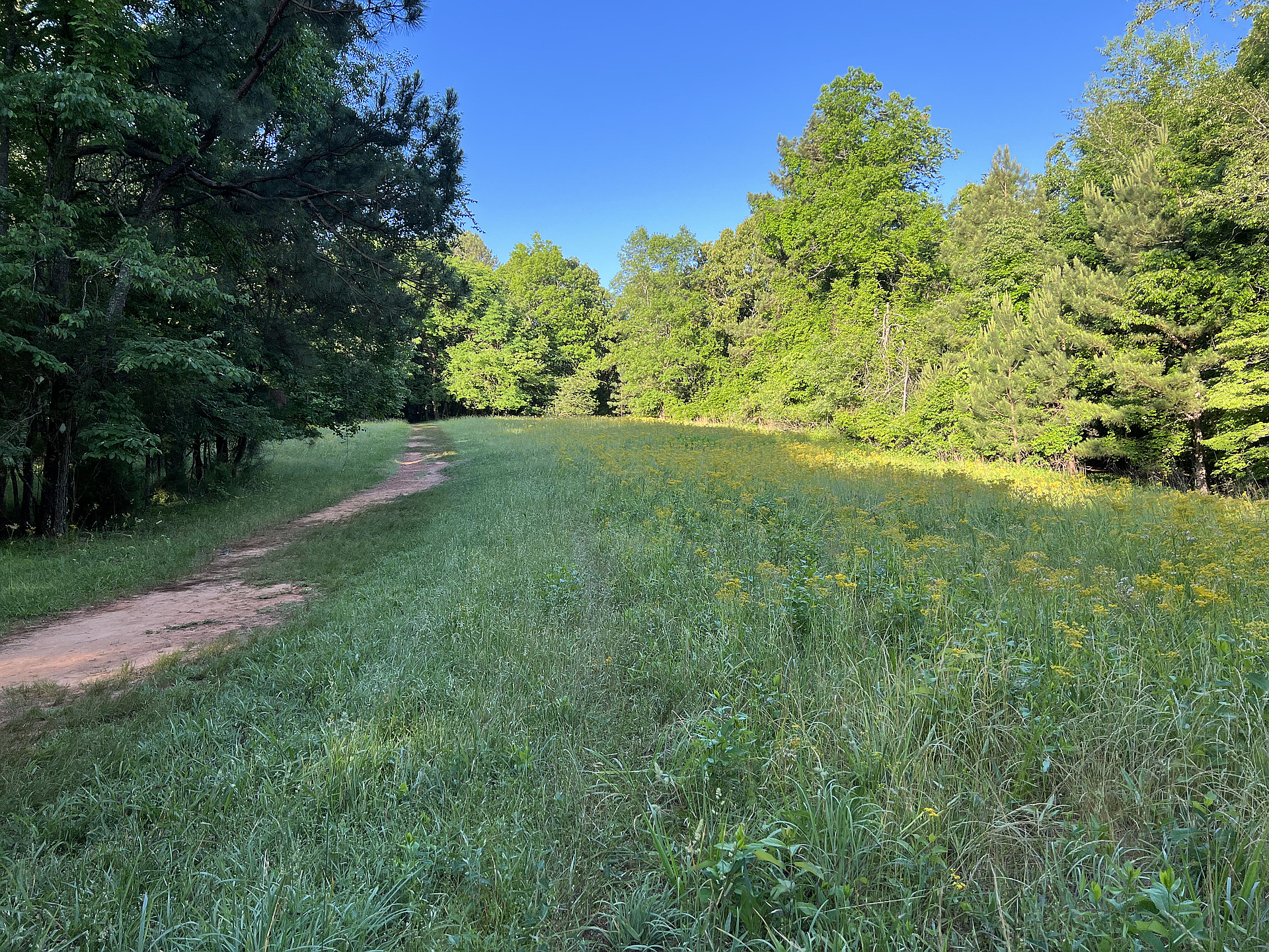
- “Jack’s Hill area [is] a former farming community now known for its open meadows, which are a favorite of bird watchers.” — Sweetwater Creek State Park Trail Map
Routes
1 climb • 2.5 mi • 23 ft gain • 1 hr 11 min
1 climb • 3.2 mi • 46 ft gain • 1 hr 7 min • Class 1
Latest climbs

"Morning hike before the heat and humidity got bad enough to slow us, so we kept a good, steady pace. First Peak 1055 ft, then Jack's Hill, then Sweetwater Town Cemetery, then side trip to edge of Sweetwater Creek State Park at Mt Vernon Rd." — davidensley • Oct 7, 2025

"First time I hiked to Jack’s Hill, I missed the side trail to Sweetwater Town Cemetery. Today I discovered why. Gina and I started hiking the same route as before on the White Trail from the Group Picnic shelters, and she stayed on the White Trail while I went off trail to find the cemetery. When I reached the place on the map where the side trail to the cemetery was supposed to be, I decided to continue on the White Trail in search of an easier way. (Bushwhacking this area is best left to wintertime.) When I reached the road to the park ranger residence, I took the power line access road back toward the side trail to the cemetery, where I found it in much better condition. In the cemetery were two turtles in my path camouflaged in the ground cover, so keep watch to avoid stepping on them. The cemetery has a modern sign, but all of the headstones are unmarked rocks from the surrounding area, perhaps carried up from Sweetwater Creek. Most headstones are the size of modern foot stones, but a few were the size of a small headstone, perhaps for the leaders of the farming community that inhabited the Jack’s Hill area. I returned to the White Trail on the unmaintained cemetery trail. Unf..." — davidensley • Aug 11, 2022

"Hiked White Trail from road crossing at group picnic shelters to Jack’s Hill where I found doorsteps and cinder block foundation on peak just off trail. Saw other building foundations along the way just off trail. Then hiked Brown Trail to nearby peak of similar elevation to try to figure which is higher. It appears both the Green Trail and the Brown Trail go by higher ground than Jack's Hill." — davidensley • May 17, 2022
Photos
Awards
Challenges
About peakery awards
Log climbs on peakery to earn awards:
Peak Badges: Earn a special badge for each unique peak you summit. See all of your badges on your Badges page.

First Ascent Award: Only 1 available per peak. Goes to the first peakery member to log a successful summit of a peak. Snag this award and the peak will forever bear your name.

King of the Mountain Award: Only 1 available per peak. Summit a peak more times than any other member. Beware: this award can be lost!

Summit Steward: Summit a peak at least 5 times to become one of its Summit Stewards. As Steward of a peak, you’re encouraged to keep that peak’s info up-to-date on peakery and spread goodwill on your future climbs up the peak.