Region
Most climbed route
Highlights
Routes
/-117.59513,34.313564,11,0.00,0.00/320x240@2x?access_token=pk.eyJ1IjoicGVha2VyeSIsImEiOiJjampra3Z0bnAxeTVnM3FteHlybHY3b2p1In0.7a5dEa5-995VUv8ceHHNmw)
1 summit • 8.0 mi • 1,766 ft gain • 3 hr 51 min
1 summit • 7.9 mi • 1,923 ft gain • 3 hr 47 min
Latest summits
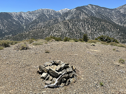
"Parked where FR 3N31 meets Lone Pine Canyon Rd and began hiking the forest road. The road eventually switchbacks up Upper Lytle Creek Ridge and on to the base of Gobblers Knob. A steep use trail goes the rest of the way to the summit. Great views in all directions from there. " — MikeTeeples • Jul 9, 2023

"While still dodging hunters in the San Gabriel Mountains (when does hunting season end?), I ascended Forest Road 3N31 on foot from Lone Pine Canyon Road. The road intersects Lytle Creek Road on a ridge line. At this same spot, the PCT intersects the roadways. I had not been on that short section of the PCT before, so I completed it as it rounds a high point before reconnecting with Lytle Creek Road. Hunters were cooking lunch at another point where the PCT once again crossed Lytle Creek Road and right below Gobblers Knob. The merry band of hunters offered me some of their fixings, which I graciously accepted. I didn't want to be rude, after all, but I probably was anyway, since I slipped away soon after receiving the food and continued toward the mountain top. From the road, a firebreak climbs to the summit at a steep angle. I took it slow before realizing that I had the mountain top to myself (unless I was being viewed through a rifle scope from somewhere in the forest). From the top there are great views toward the highest peaks in the San Gabriel range. I descended from the opposite slope to the west and climbed down to the PCT, where I turned right and returned to Lytle Creek R..." — MikeTeeples • Nov 4, 2017

"Gate was locked (apparently still closed from fire last year?), had to dodge FS patrol en route to summit. Clear views of San Gorgonio, San Jacinto, and San Antonio from summit. Met two PCTers on the way down. Pretty early to see them this far north already." — edg • Apr 30, 2017
Photos
Awards
Challenges
About peakery awards
Log successful summits on peakery to earn awards:
Peak Badges: Earn a special badge for each unique peak you summit. See all of your badges on your Badges page.

First Ascent Award: Only 1 available per peak. Goes to the first peakery member to log a successful summit of a peak. Snag this award and the peak will forever bear your name.

King of the Mountain Award: Only 1 available per peak. Summit a peak more times than any other member. Beware: this award can be lost!

Summit Steward: Summit a peak at least 5 times to become one of its Summit Stewards. As Steward of a peak, you’re encouraged to keep that peak’s info up-to-date on peakery and spread goodwill on your future climbs up the peak.