Highest peak
Mount Olympus, Mytikas Peak
9,572 ft / 2,917 m
Most prominent peak
Mount Ida
8,057 ft / 2,455 m prom
Most summited peak
Mount Olympus, Mytikas Peak
51 summits
Most difficult peak
Megali Ziria
Class 1
Difficulty breakdown
Class 1/2 3 peaks
Class 3/4 1 peak
Highlights
Latest summits

"What a great day. After foggy tuesday got rewarded with nice weather. Apparently I did not take any pictures on Mytikas which is a shame. This route up was much more fun than the normal route to Mytikas via Spilios Agapitos." — LadislavT • Jul 7, 2023

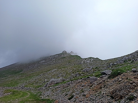
"At Skala I could not see this mountain as it was hidden in cloud. To be honest I was a little disorientated and didn't properly check my bearings. Rather I set off after checking the way with another climber and misinterpreting his directions, I ended up heading straight down the gully to the east rather than turning north almost immediately. I was about 100m down before I fully realised my mistake. It could have been more costly than the calories and pride spent, because the rock was very loose. After finally establishing the mistake I'd made, I made my way back up, and on to the right path which was well marked. What hadn't been well marked was the turn off from the gully, and the advice of "straight down" was taken too literally.
The other mistake I had made was not really researching this top and its difficulties. I had planned to go up the next day but as the weather was turning, I did it earlier and didn't do any real preparation. It is described as a class 3 scramble and to be honest I'd have preferred to have been roped up, but as it stood I continued. The first part is a steep descent though on quite solid rock, and one with natural steps, a recurring feature on this clim..." — vygodski • Jul 4, 2023

"This hill is relentlessly steep, until you get to the top that is, and then it is an awkward hobble over quite rough knobbly terrain, avoiding a hollow by the south summit. I took it from the south east at around 1100m. It starts relatively ok, then shoots up on a fairly loose but relatively well marked path. A couple of sections required scrambling, the worst of which over quite smooth rock which would be a devil when wet, but nothing too challenging. I'd found my mountain legs by this point and stormed up (good thing really as I had left it quite late in the day) although I was disappointed to find the highest point quite far away once the height had been gained. I read somewhere that this is statistically one of the most dangerous Greek hills. Not sure how true that is but there are a couple of plaques commemorating people who didn't make it. Oh yes, and I worked out that what I thought was some kind of bumble bee was actually the local horsefly. I got bothered by these quite a bit, but fortunately only the males which don't bite, thankfully." — vygodski • Jul 2, 2023

"After a gruelling climb from the east up Platyvouna, was pleased to arrive at the bottom of this and have just 350m elevation to do, but it was pretty gruelling all the same. Saw some pretty yellow butterflies with back edges to the wings, forget-me-nots and several small violet and purple species of flowers, that when I could wipe the sweat from my eyes. The summit has a small shelter, and far-reaching views although that goes almost with out saying. The promised rain turned out to be a drop or two, but the occasional very cool breeze was enough to show what the weather could do in the blink of an eye. On the descent down a well-marked path (a mixture of older red splodges and newer orange ones, the latter an unfortunate choice given the orange colour of the lichen here) saw a chamois which seemed a little curious in us, though kept a fair distance. Descended northwards down a fairly gradual path, past an empty lake, a little down a gorge then keeping above it, until a 100 m zig-zag where we refound the dirt track. Left my companion to rest whilst I trekked back up it to the east to retrieve the car. " — vygodski • Jun 28, 2023
"A 300m odd climb from the northwest. Left the car at some point on the track and walked along dirt road to roughly south of this, then steady climb to top. Changeable weather: rain, sun, mist, cloud." — vygodski • Jun 26, 2023