
Region
Most climbed route
Highlights
Latest climbs
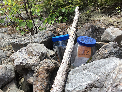
"I followed the instructions in the AMC guide, which leads to the Red Trail. The route in from the state highway—which is marked with white signs—goes from very good gravel to less good gravel to some very rocky gravel. That last part can be challenging to drive; take it slow. I parked at the gravel pit, and one walks down a dirt road. Make sure you turn right on the Red Trail; the Lower Red Trail intersects this road just before the right turn up the Upper Red Trail, and it goes away from the summit. I messed up on this, realized my mistake, and had to turn around. I found it a harder climb than other descriptions I read. The trail is overgrown and narrow, quite rooty in the lower half, and pretty steep. There are not many level sections. The red blazes do make the trail pretty easy to follow. An upended tree posed a challenge, but not an insurmountable one. Near the summit, the Red Trail joins the Blue Trail, which is billed as the most difficult of the three trails to the summit. The other, the Green Trail, only joins at the summit. The views are narrow, but there is a nice partial view of Moosehead Lake. A short ways down the Green Trail, there is a spot through which one can gl..." — Badgerinmaine • Jun 9, 2020

"A hot day for a hike. Some of the Burnt Jacket Trail was very narrow in spots due to overgrowth. Definitely steeper than the "easy" designation that was given in our Moosehead hikes overview. I would rate it more as moderate with a brief difficult steep section. Only a somewhat good view of the lake was found at the summit. Also, at the start of the trail it lists the mileage to the summit at 0.6, but it is definitely close to the 0.8 listed at the summit if not a rounded off mile." — HikeLikeMike • Sep 7, 2015
Awards
About peakery awards
Log climbs on peakery to earn awards:
Peak Badges: Earn a special badge for each unique peak you summit. See all of your badges on your Badges page.

First Ascent Award: Only 1 available per peak. Goes to the first peakery member to log a successful summit of a peak. Snag this award and the peak will forever bear your name.

King of the Mountain Award: Only 1 available per peak. Summit a peak more times than any other member. Beware: this award can be lost!

Summit Steward: Summit a peak at least 5 times to become one of its Summit Stewards. As Steward of a peak, you’re encouraged to keep that peak’s info up-to-date on peakery and spread goodwill on your future climbs up the peak.