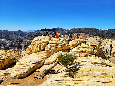
Designed to "encourage members to explore and enjoy the desert mountain ranges of the Southwest," in California, Nevada, Arizona, Utah and Mexico. This is the oldest peak list in the largest chapter of the Sierra Club. Occasionally revised as peaks are suspended and new ones added due to fires. More info at http://angeles.sierraclub.org/dps/default.htm
Highest peak
White Mountain Peak
14,252 ft / 4,344 m
Most prominent peak
Charleston Peak
8,241 ft / 2,511 m prom
Most summited peak
Charleston Peak
412 summits
Most difficult peak
White Mountain Peak
Class 1
Difficulty breakdown
Class 1/2 4 peaks
Class 3/4 3 peaks
Class 5+ 1 peak
Highlights
Latest summits

"Attempted Montgomery Peak after summiting Boundary Peak, but we didn't go far. The snow on the steep slope below the gendarmes looked dicey and we didn't have crampons.
Bring full winter gear or attempt this peak once the snow is gone." — Taras • Apr 27, 2024
"TR and Condition report on Rocky Gap Road out of Willow Springs. My 56x up Bridge. I normally avoid this road unless required by expediency. I used to drive up here in a 2003 Subaru with 7 inches clearance, aided by the narrowness of that vehicle. Since then, one section has gotten better and two have gotten worse. The section bigRocksInRoad (right after 1st wash) and BadRedHill are worse. The OldBadSpot, where a stream sometimes crosses, is better. We saw several Pink Jeeps turn around at Park4NorthPeak at 2.4 miles up – they used to turn around below that.
bigRocksInRoad 36.1646953 -115.5068051
lastBigPullout 36.1604693 -115.5172013
oldBadSpot 36.1590931 -115.5201408
BadRedHill 36.1568590 -115.5206260
park4NorthPeak 36.1511667 -115.5235472
" — hwstock • Apr 20, 2024

"Clark Mountain you kicked my butt today. We chose to go up and down the class 2 route because we had our dog. The peak has awesome views as for the hike I think I managed to put my hand in every cactus along the route. Even with the cactus this was another perfect day and a great way to end desert peak bagging season before it gets too hot. " — maggielynn • Apr 16, 2024
"LOTS of climbing. Took the access trail as there were reports of a lot of snow. There was a decent amount of snow above 7k ft. No need for crampons or spikes of any kind. For sure a harder route than I thought. Straight up from the get go. " — conkel13579 • Mar 27, 2024

"Route going up the ridge visits plane crash site. Getting to the crash site and from there to the ridge probably wasn't an optimal route, but it worked. On the ridge there is one short spot we traversed the left side that was a pretty exposed short class 3 bit. Later we dropped to the left side from the ridge navigating below it. We climbed back up a bit I'd call hard class 3 / easy class 4 that was about 40-50ft going straight up. This bypasses a section I had seen in other routes that had a traverse on the ridge that required you to navigate a narrow down-sloping ramp. I don't think I'd want to down climb this bit (unless you used a rope/webbing to assist). From here a little more short class 3 climbing and anything remaining was class 2. Going down the west side was pretty straightforward, but as we got back near our vehicle, the route I chose was a bit brushy and loose. There might be a better path there. Photos https://photos.app.goo.gl/qytRUacp9T2t6ToP8" — parker.goes.outside • Mar 24, 2024