Distance
no info yet
Elevation
no info yet
Vertical
no info yet
Time
no info yet
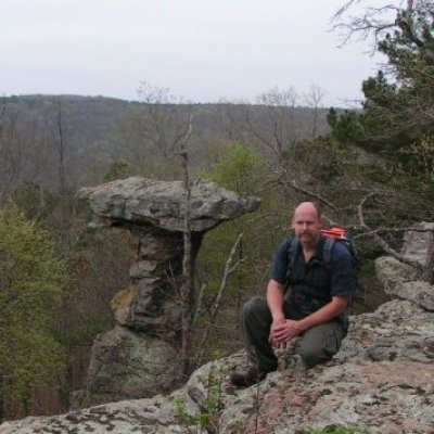
Started hiking/exploring along west trace creek. After the creek ended Met up with Bear creek horse trail at a pond alongside the trail. Turned NW for a short distance, maybe .5 miles and then started to actually climb the peak. Made it up top thru a controlled burn. No great views on top except of other peaks.
North Deckard appears on the top map as a series of ridge tops but this one is the tallest.
