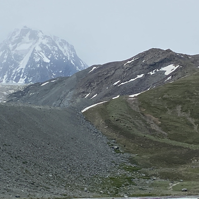
Miranjani is the highest peak of Galiyat Region, KPK, Pakistan standing at approx 3000 meters. The starting point of the hike is a junction of two roads creating a "Y" going to Miranjani and Namli Mera. A small tourist facilitation hut is also established there for parking and guidance if needed. The hike would take a couple of hours and span is approx 5 kms. First 3 kms are more like a stroll. Final km and a half if relatively steep with a total elevation gain of 600m from start to the top. One can camp at the top easily as there is a huge pasture. One can choose to come back of keep going to wards a British Era Decree Bungalow (Dagri Bangla). Its also possible to camp at Dagri Bangla. There are two possible routes from there is one chooses not to trace the steps. 1 leading to Kohala and the other leading to Kutli / Phalkot village and then use public transport to get back to Murree/ Nathia or Abbotabad.
Miranjani / Dagri Bangla Trek
no info yet
no info yet
