3.5 mi to summit
7.0 mi total
1,756 ft start
2,064 ft gain
no info yet
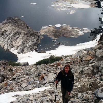
Found this no-trail hike in our 2001 edition of On Foot In Joshua Tree, and decided the cooler weather this weekend made it a go. Parked near the 15 mile mark along Pinto Basin Road and made our way across the washes to the base of the ridgeline that directly intersects the secondary ridge curving toward the summit. Stepped RIGHT next to a juvenile speckled rattlesnake while negotiating a section of the lower sharp, rocky outcrops. Thankfully it chose to promptly slither under a boulder. Found the well-protected summit log & ate lunch at the peak with awesome views of the Pinto Basin and Coxcombs. No one had signed the log in 7 months! Returned via the same route we ascended. Views of the rugged 1000 ft cliff of Mary Peak are visible the entire route this way.
None
out-and-backroutefinding, rockfall/loose rock
trekking poles
