Distance
no info yet
Elevation
no info yet
Vertical
no info yet
Time
no info yet
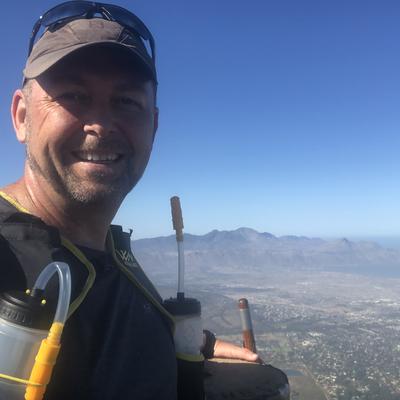
Hike starts in Pringle Bay, Western Cape (RSA) at approx 33m above sea-level. There is a small dedicated parking at the end of Clarence Road. The path is well defined and heads off on a relatively flat 1.5km section then makes a 90 degree right turn to go straight up the back of Hangklip, to an elevation of 453m. This relatively unknown trail can easily be done in 1h30 (there and back) and is approx 4.83km in total length. The views from the summit are incredible, stretching over the entirety of False Bay and back over to Bettysbay.
Route to summit
None
out-and-backObstacles
no info yet
Key gear
no info yet
