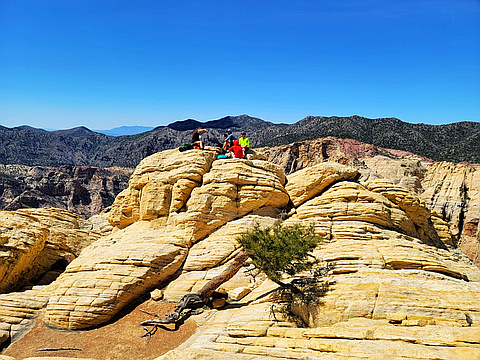
50 classic peaks lying in a vast region around Las Vegas. Peaks lie in Nevada, Arizona, Utah, and California. The natural next challenge to tackle after the Las Vegas 52 Peaks. More info: http://www.lvmc.org/index.html
Highest peak
Mount Whitney
14,505 ft / 4,421 m
Most prominent peak
Mount Whitney
10,085 ft / 3,073 m prom
Most summited peak
Mount Whitney
595 summits
Most difficult peak
Mount Whitney
Class 1
Difficulty breakdown
Class 1/2 5 peaks
Class 3/4 4 peaks
Highlights
Latest summits

"Always a fun loop that can be modified in many ways...adding or subtracting peaks on the way. It's fun to see the expressions on the faces of the team when they do the Rainbow Direct route for the first time. " — Heartattackbruce • Apr 21, 2024
"TR and Condition report on Rocky Gap Road out of Willow Springs. My 56x up Bridge. I normally avoid this road unless required by expediency. I used to drive up here in a 2003 Subaru with 7 inches clearance, aided by the narrowness of that vehicle. Since then, one section has gotten better and two have gotten worse. The section bigRocksInRoad (right after 1st wash) and BadRedHill are worse. The OldBadSpot, where a stream sometimes crosses, is better. We saw several Pink Jeeps turn around at Park4NorthPeak at 2.4 miles up – they used to turn around below that.
bigRocksInRoad 36.1646953 -115.5068051
lastBigPullout 36.1604693 -115.5172013
oldBadSpot 36.1590931 -115.5201408
BadRedHill 36.1568590 -115.5206260
park4NorthPeak 36.1511667 -115.5235472
" — hwstock • Apr 20, 2024

"Mainly this a condition report. I was on this route about 1.5 years before. As of 4/14/2024, the canyon has more water than usual, so there may be more creative routing around the pools. There is obvious evidence of the floods last September and after, and there seem to be many fewer cairns. This is at least my 12th time, by many different routes; the other routes may be technically harder, but this one can be exhausting in high water condition, mainly due to the bouldering through Oak Creek. " — hwstock • Apr 14, 2024
"LOTS of climbing. Took the access trail as there were reports of a lot of snow. There was a decent amount of snow above 7k ft. No need for crampons or spikes of any kind. For sure a harder route than I thought. Straight up from the get go. " — conkel13579 • Mar 27, 2024

"Would not due this route again unless driving in someone else's Jeep. Route to summit is unremarkable, but has a nice view of Clark Mountain. Road to start point was quite rough, required high clearance and was very tough for my full size truck due to several narrow spots flanked by boulders. Driving route here https://www.gaiagps.com/public/ALyH8vZMkODrqYNwfxsqheHx/ . " — parker.goes.outside • Mar 23, 2024