16.1 km to summit
no info yet
no info yet
3 hr 20 min to summit
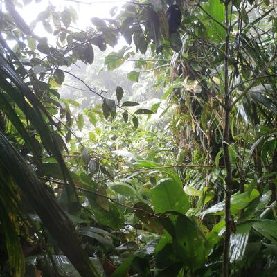
This is peak requires extremely good local knowledge. The local 1:25000 maps are not comprehensive enough to show the bands of cliffs that surround the peak. The main Northern Range ridge runs straight into a 200 ft band of cliff then ascends along another ridge to a plug that is hidden in the canopy. I had to bear South of the main ridge and pick a feature that led between the cliff to get onto the mountains main ridge. From there the walk through upper Montanne vegetation was stunning with views of Las Cuevas and the valley below. The final approach to the peak is surrounded by a band of rock that has good steps but is steep. The summit is covered in old growth stunted trees.
no info yet
no info yet
