no info yet
no info yet
no info yet
no info yet
Highs and lows... peaks and mud.
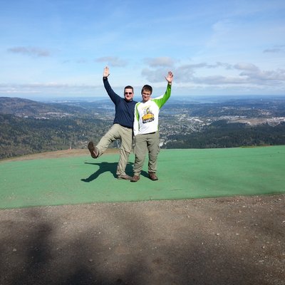
I went to the park to meet the crown jewel of Cougar Mountain Regional Wildland Park: Cougar Mountain (Anti-Aircraft Peak). It's celebrated by a picnic table, a garbage can and a cell tower. Before going there, I thought I'd check out the nary visited Claypit Peak (no proper trail getting there - though lots of mud to be found). This is a bushwhacker's delight, and I have to guess that I'm probably very glad I did this before Spring takes full effect (in other words, the Nettles and Devil's club were under control).
While the bushwhacking and the clay mud was a bit irritating, the rest of the loop was very enjoyable and maybe a little too easy. That said, it was great to get to the outdoors today.
I would also agree with everything that scott said from his visit three days ago.
Last but not least, I may have done this one a little differently than some. I approached the peak from the North side by way of the abandoned mining road (I think this is the typical path). But going down I really didn't want to go through that path again. So, I went due West through the woods. It was bushwhacking all the way, but it was also a short distance to the closest trail (the East Fork Trail). If I was doing it again, I'd take the same route: approach from the North, exit stage West.
Trail length: 4.4
Total Elevation Gain / Loss: 793 feet

