Climb the "Taal Ten". Includes 9 classic peaks surrounding Taal Lake in Batangas... and then the grand finale: active volcano Mount Taal in the middle of the lake. All 10 peaks are easily done in day trips from Metro Manila. This challenge is a subset of the larger Manila 50 Peak Challenge. (photo by baylonjmj / flickr)
Highest peak
Mount Makiling
3,642 ft / 1,110 m
Most prominent peak
Mount Batulao
2,133 ft / 650 m prom
Most summited peak
Mount Batulao
75 summits
Most difficult peak
no info yet
Difficulty breakdown
no info yet
Highlights
Latest summits
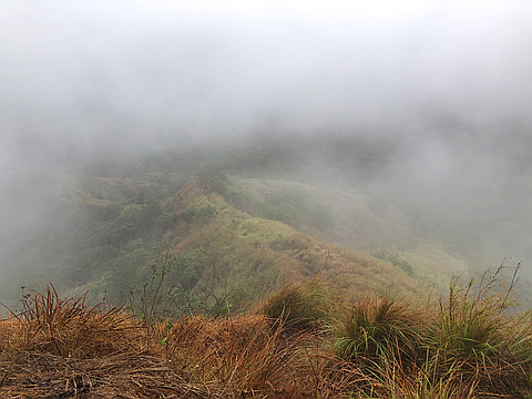
"It was a rainy hike. The normally dry, dusty trail transformed into a mud-slicked obstacle course, especially on the steeper sections. The fog dissipated for a few minutes, allowing us to appreciate the view before it got thick again. The infamous Batulao heat was absent due to the rain, and I think this was a good thing because our guide mentioned that someone died from a heatstroke at the summit the day before our hike so I think it was okay that it was raining." — kaloyaganinta • Feb 25, 2024

"Part of my Nasugbu trilogy
Mt. Lantik (not on map), Mt. Talamitam, and Mt. Apayang.
Also was able to pass through Mt. Carilao.
Difficulty: 3/9
Elevation: 630 MASL
Moving time: 3:12:01
Distance: 10.49 KM
Steps: 17,494" — Chok • Apr 16, 2023

"Difficulty: 4/9.
Elevation: 811 MASL
Moving time: 1:52:31
Distance: 12.19 KM
Steps: 18,328
Unexpectedly a good hike and good for beginners that would also like to have a little bit of a challenge. When at the summit, it seems that you're at a plateau overlooking the entire area. If you are capable, you can trail run all the way down starting mid way.
This would be my go to mountain when introducing trekking. " — Chok • Mar 26, 2023

"Philippines. Started in Los Banos at the university. It was Good Friday, Holy Week, lots of people! First part is a paved road. Lots of shops. Bought some bananas. Went to mud pool first. At Agila Base the path got small. Climbed through forest. A lady gave some information: watch out for leeches and need to come down at 14 o clock! Oh ooh. Detour between station 16 and 17 because of landslide. On the way up went hardcore, left everyone behind. Wanted to make the summit before deadline. Climbed like crazy, passed lots of people. Did not wait for people coming down. Got to Peak 2 at 13h45 uff! No possibility to make traverse, army guarding path. Open grass field. Drank some water and went back down to cheer up the others. Found Judith and Sam at station 28. They will make it. Went back up with them. Climbed a tree to have a view on Laguna, Talim Island on one side and Taal Lake and Volcano on other side. Nami and G make it to the top aswel! Yes! Go down slow, lots of mud. Got bitten by something when I sat down to rest. Hand stung for a few days." — Pieter • Mar 30, 2018

"Philippines. Took tricycle from Tagaytay to Taal Lake. A catamaran took us to the Taal Island. Got a guide who took us on a dusty path up. Some people on horses. Had a beatiful view over the surroundings just before sunset." — Pieter • Mar 14, 2018