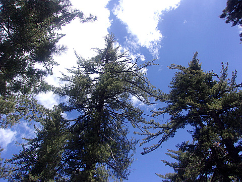
Highest peak
Reyes Peak
7,514 ft / 2,290 m
Most prominent peak
Hines Peak
3,196 ft / 974 m prom
Most summited peak
Reyes Peak
21 summits
Most difficult peak
no info yet
Difficulty breakdown
no info yet
Highlights
Latest summits

"Haven’t been up the East fork in over 20 years. Was going to attempt to Summit Santa Paula peak solo for a day hike. No really a trail just moving around the river bank which is covered with tree branches and big rocks there was plenty of water. After gettting out of the mud slide area trail was hard to find but was flagged by a fellow hiker (Dan). Thanks Dan I wouldn’t have found it other wise. Made it to Ceinega Campground in 4 hours at 7 miles, water was running. It was just like I remember it. The trail to hit the summit or Bluff camp was over grown. Since I was solo I didn’t want to attempted it. Definitely want to go back soon, I just need a crew. The worst part about was coming back near punch bowls crowded and trashed so sad!!" — ryankopp • May 9, 2020

"Perhaps my favorite HPS peak to date. This is a long undulating ridge with a great trail the whole way. Views in all directions are awesome. The Sespe Wilderness, beyond just the creek, is an underrated gem of Southern California." — edg • Sep 16, 2018
"My original plan was to hike up Chorro Grande Trail to the ridge and summit Reyes and then Haddock, which would have been a nearly 22 mile affair with probably close to 5,000' gain (both out and back combined). However, with a later than expected start, as we arrived at 6:30 am, we decided to drive part way up Pine Mountain Road to the 6,000' contour and park at a pullout. We hiked up the paved road for a couple of miles past Pine Mtn Campground, then the Upper Chorro Grande Trailhead and Reyes Peak Campground and hiked through to the dirt road past the Reyes Peak Trailhead Parking Lot, and then to the actual trail. We ascended Reyes Peak, which is the use path at middle fork of the 3-pronged fork junction and relaxed on the summit watching the Western Fence Lizards display their territorial "push-up" displays. We then backtracked to the trail junction, taking the left fork which is the Reyes Peak Trail. We hiked it through the most magnificent Jeffrey, Ponderosa, Sugar Pine and White Fir forest I have ever seen in Southern California!! and that stretch of trail was mellow and relatively level inviting my friend and me to walk at a leisurely pace to soak up the wonderful scen..." — brianpowell • May 12, 2018

"My friend Brett and I started at about the midway point on Pine Mtn. Rd. at 6000' elevation and walked up the asphalt (original plan was to hike the Chorro Grande to Reyes and then to Haddock for a roughly 22 mile hike, but started too late). We passed Pine Mtn and Reyes Peak Campgrounds, as well as the Upper Chorro Grande Trailhead. We then reached the trailhead and went a short distance until hitting a 3-fork junction. The left is the Forest Service Reyes Peak Trail, but the middle fork is the actual use trail to the 7,514' summit. We took the middle fork for just under a mile to the summit, requiring a short class 2 scramble to the top where there is an official USGS survey benchmark. The stats below are for Reyes Peak alone, as we returned to the official Reyes Peak Trail and took it to summit Haddock afterwards. The Reyes Peak Trail towards Haddock is very scenic with lush stands of Jeffrey Pines, Sugar Pines, a few Ponderosa Pines, and many White Fir, many of these trees being several of the largest specimens in Southern California. The area is outstandingly beautiful. With Haddock included, the entire trip was roughly 16.75 miles with about 3,000' gain due to many up..." — brianpowell • May 12, 2018

"I hiked Hines and Topatopa from Sisar Canyon. At 21 mi / 6000 ft, this is a long outing with a healthy amount of elevation gain. It's really not too bad though, since the vast majority of the mileage is on very good road and trail. With the exception of the steep, class 2 ascent up the ridge to the Hines summit and the drop off Topatopa back to the road, the miles go by pretty quick.
This was a perfect early spring day; clear and cool with a consistent breeze; the canyon trail was mostly shaded and the creek was flowing strongly alongside. Past the trail camp, the route climbs steeply up to the more gently graded fire roads. The climb up Hines is by far the most interesting stretch - steep with a brief knife-edge section and some good scrambling at the top. It was so clear that from the top I could see the snow-capped summit of Mt. Baldy 85 mi away." — klotito • Mar 19, 2017