Distance
no info yet
Elevation
no info yet
Vertical
no info yet
Time
no info yet
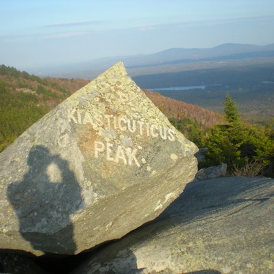
Start at Otter brook dam and follow the new flood control area trails due northeast. Climb the western slope of the hill heading east. No real trails until you pass over a stone wall that runs north to south. A very old road snakes up to the top, I decided to just climb up the slope until I reached the summit. The summit is open area and partially grown in with views to the west looking toward keene and views to east, slightly obscured by trees. There is one primevil pine tree that stands alone with an open view of the west hills, this is the best spot to stop and obsorb the surrounding hills
