Region
Highlights
Routes
/-117.875213743418,34.3588385970016,11,0.00,0.00/320x240@2x?access_token=pk.eyJ1IjoicGVha2VyeSIsImEiOiJjampra3Z0bnAxeTVnM3FteHlybHY3b2p1In0.7a5dEa5-995VUv8ceHHNmw)
1 summit • 1.0 mi • 243 ft gain • 31 min
1 summit • 1.1 mi • 263 ft gain • 34 min
Latest summits

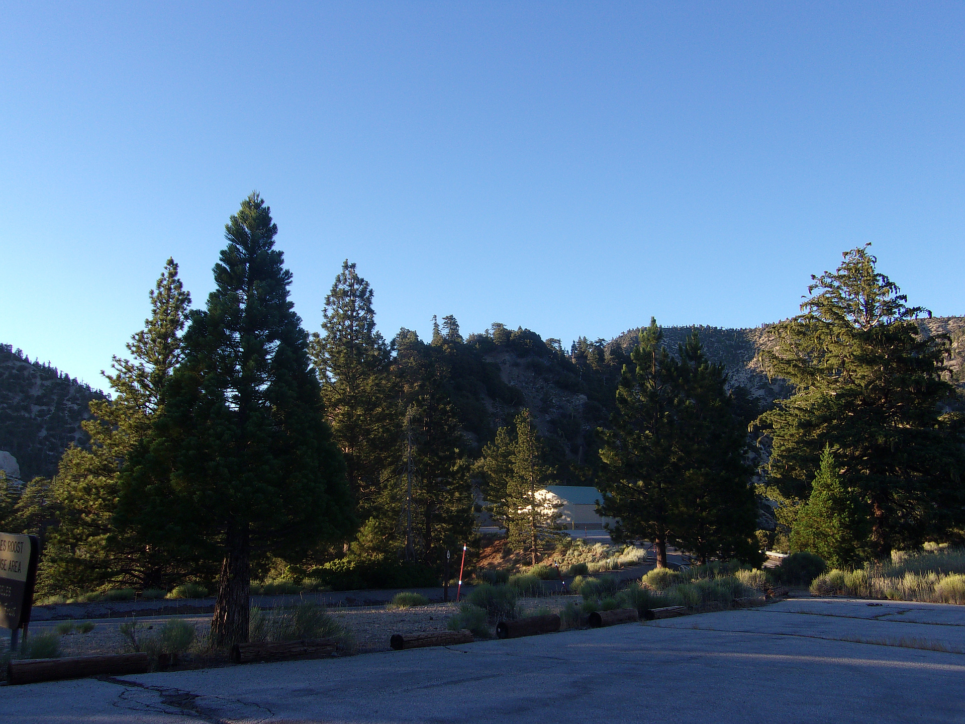
"From Eagles Roost, I took the PCT east. The trail goes along the side of Angeles Crest Highway while passing a storage shed. The trail then elevates above the road to a high point. A short scramble off the trail leads to the summit." — MikeTeeples • Aug 3, 2019

"An after work hike, I first made a short hike up to Mt. Hillyer from Rosenita Saddle on Santa Clara Divide Rd. I then took a ride to Eagles Roost Picnic Area, west of Islip Saddle and made a super easy 1.25 mile up Peak 6880 and 6920, on opposite sides of Eagles Roost. I first hiked up the west side of Eagles Roost on a short but steep slope to 6880, a 200' gain from the picnic site. I then returned to Eagles Roost and joined the PCT at the east end and followed it past the maintenance shack and switchbacked up the hill. The PCT tops out on the ridge just shy of the summit, where I made a very quick (less than 2 minutes) pull to the right of the trail and to the summit of 6920. Afterwards, I hiked back to Eagles Roost, catching a nice sunset just before getting back to the parking area! Elevation gain was roughly 500' combining 6880 and 6920. A stressful day at work turned into a glorious afternoon and evening, and a relaxing drive home afterwards!" — brianpowell • Jul 20, 2019
Photos
Awards
About peakery awards
Log successful summits on peakery to earn awards:
Peak Badges: Earn a special badge for each unique peak you summit. See all of your badges on your Badges page.

First Ascent Award: Only 1 available per peak. Goes to the first peakery member to log a successful summit of a peak. Snag this award and the peak will forever bear your name.

King of the Mountain Award: Only 1 available per peak. Summit a peak more times than any other member. Beware: this award can be lost!

Summit Steward: Summit a peak at least 5 times to become one of its Summit Stewards. As Steward of a peak, you’re encouraged to keep that peak’s info up-to-date on peakery and spread goodwill on your future climbs up the peak.