Region
Most climbed route
Highlights
Routes
/-122.058550203787,47.5038000537586,11,0.00,0.00/320x240@2x?access_token=pk.eyJ1IjoicGVha2VyeSIsImEiOiJjampra3Z0bnAxeTVnM3FteHlybHY3b2p1In0.7a5dEa5-995VUv8ceHHNmw)
1 summit • 5.2 mi • 1,240 ft gain • 2 hr 24 min
1 summit • 9.2 mi • 1,986 ft gain • 3 hr 33 min
1 summit • 0 min
1 summit • 10.0 mi • 2,292 ft gain • 4 hr 8 min
1 summit • 10.4 mi • 2,073 ft gain • 4 hr 8 min
1 summit • 10.8 mi • 2,455 ft gain • 3 hr 8 min
1 summit • 11.5 mi • 1,967 ft gain • 3 hr 25 min
1 summit • 11.8 mi • 2,134 ft gain • 3 hr 45 min
1 summit • 14.7 mi • 3,545 ft gain • 2 hr 54 min
1 summit • 19.3 mi • 5,158 ft gain • 4 hr 19 min
1 summit • 32.7 mi • 5,962 ft gain • 7 hr 38 min
1 summit • 39.1 mi • 9,106 ft gain • 11 hr 49 min
1 summit • 4.9 mi • 1,198 ft gain • 2 hr 18 min
1 summit • 5.3 mi • 1,450 ft gain • 2 hr 10 min
1 summit • 6.5 mi • 1,529 ft gain • 3 hr 9 min
1 summit • 6.9 mi • 1,433 ft gain • 2 hr 39 min
1 summit • 8.8 mi • 2,057 ft gain • 3 hr 17 min
1 summit • 9.2 mi • 2,548 ft gain • 3 hr 33 min
Latest summits

"Wonderful after work trail run on the Seattle Eastside - the PNW is just special with its tall trees and beautiful ferns. Followed a clockwise loop from Squak Mountain Access Trailhead, covered the three peaks and returned via the Mountainside Drive trailhead. I made the mistake of trying to save time by bushwhacking West from Southeast Peak to rejoin the trail - stinging nettles were just the beginning... Next time I will just retrace my steps from Southeast peak northward along the ridge. Luckily the fun didn't last and I was back on a proper trail after 15 minutes of joy." — danishclimber • Aug 28, 2023

"Triple Squak day! Highly recommend walking south of the actual Southeast Peak on the user trail to the slightly lower bump (marked with the summit marker on this map). Excellent mushroom show and even sort of a view at the end." — beaucheminjess • Oct 16, 2021

"Took an early evening hike up Squak Mountain with the intent of summiting all three peaks - West, Central, and the South East peaks. Made it up to the West and Central peaks before deciding to head down due to the waning daylight. The West Peak has remnants of some structure - maybe a small cabin. The fireplace is there in all its glory, and the Central Peak in addition to the microwave communications tower has some old cabin near it as well with a large. old propane tank. Maybe a former residence of the tower keeper or other old homesteader. Trails are super well marked with signs at each juncture. I help a couple who was turned around and set them on the correct path to the state park trailhead off of the May Valley road. Lots of beautiful setting sun rays casting light through the trees and moss, setting off a beautiful golden brilliance to end the evening." — markhadland • Aug 13, 2020

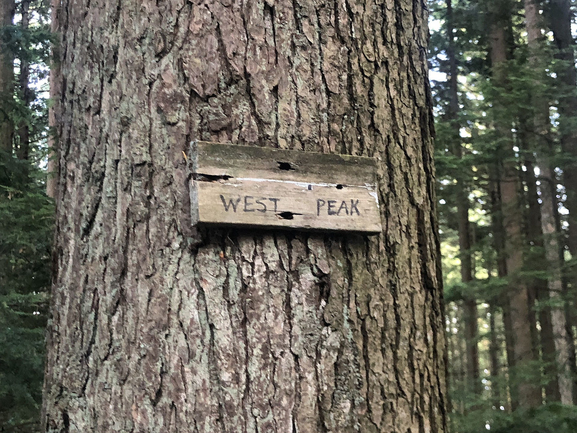
"Impressively maintained trail, a little muddy in a few spots, but that's expected after a good rainfall. The hike is pretty uneventful with minimal views. West Peak is in the middle of a forest and is simply a sign on a tree. The Central Peak is a tower which is always a total bust. Good exercise, but probably wouldn't do again." — katiedoyle • Apr 7, 2019

"Squak Mountain State Park - a hidden gem
Nestled between the Cougar Mountain Regional Wildland Park and the Tiger Mountain State Forest, Squak Mountain State Park gets a fraction of the area's visitors as it's illustrious neighbors.
Enjoy secluded, sub-alpine views as your adventure takes you through the Billit's former vacation escape. Only their grand stone fireplace remains, but you'll certainly enjoy your wanderings over three of the Issaquah Alps' area peaks: Squak Mtn West, Squak Mtn Central Peak, and Squak Mtn SE Peak.
Author's note: having been to Cougar, Squak and Tiger; it's easy to compare them to each other. I have to say, I think Squak may be my favorite and I'll gladly go back again and again. I would not say the same about Cougar Mountain Regional Wildland Park. It's nice, though obnoxiously crowded and it does not have the same Alpine feel that Squak has. Squak sets up the physical challenge while delivering beautiful sub-alpine views. It's pretty hard to do better unless you're headed above the tree line.
Bring your cardio and happy adventuring!
Trail length: 7.3 miles
Total Elevation Gain / Loss: 2,157 feet
Link to GPS tracks: http://my.v..." — herdingcats • Apr 2, 2014

"Late afternoon jaunt up to this viewless summit. Splendid old rotted wooden structure debris covered in downed limbs at the top. No one out on the trails on this rare sunny 57 degree Feb day." — scott • Feb 26, 2014

"My buddy Austin and I headed up to peggy's view on the western slope of the west peak starting from a now nonexistent trail originating from a neighborhood in high valley. Beyond the viewpoint we continued up to the west peak to where the old shack was still standing. We then climbed the old ladder which used to be fastened to a tree next to the shack and probably went up around 50' or so. From this point we made our way down missing the trail we came up on and ending up down on SR 900. It's a shame so much has changed on this mountain as it was where I had my first hiking experiences. Still it holds a lot of nostalgia." — Al-Rashid • Jun 22, 1996
Awards
Challenges
About peakery awards
Log successful summits on peakery to earn awards:
Peak Badges: Earn a special badge for each unique peak you summit. See all of your badges on your Badges page.

First Ascent Award: Only 1 available per peak. Goes to the first peakery member to log a successful summit of a peak. Snag this award and the peak will forever bear your name.

King of the Mountain Award: Only 1 available per peak. Summit a peak more times than any other member. Beware: this award can be lost!

Summit Steward: Summit a peak at least 5 times to become one of its Summit Stewards. As Steward of a peak, you’re encouraged to keep that peak’s info up-to-date on peakery and spread goodwill on your future climbs up the peak.