no info yet
no info yet
no info yet
4 hr 0 min to summit
6 hr 0 min total
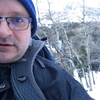
Climbed solo from the south side. Next level wind on the top 1/3, the gusts knocked me down a few times.
Biked along the Drywood Falls trail about 3 km. Left the trail about 1 km before Drywood Falls, climbing through an open meadow, avoiding the treed areas with heavy snow. Followed the ridge right of the gully. Stayed well right of the waterfall. Once above the highest cluster of mature trees turn left to make the ridge.
At this point, one would be tempted to simply follow the ridge up to the peak. This is a mistake. The whole area is a mess of loose boulders, just waiting to break an ankle, and with a crosswind of 100+ km/hr, it was tough going. Instead, head into the gully to the left, and follow the gully up the hill. The footing is much better.
After that, follow the ridge to the peak.
I did not find a summit log. But I did find boot tracks in the snow, partly drifted over. Someone else had been up in the last few weeks.
6 hours round trip
Approach from the south side of the mountain. I left the Drywood falls trail about 1 km before Drywood falls, at a crest in the road.
out-and-back
no info yet
no info yet
