Region
Most climbed route
Highlights
Routes
/-4.14006708465581,53.0002000773621,11,0.00,0.00/320x240@2x?access_token=pk.eyJ1IjoicGVha2VyeSIsImEiOiJjampra3Z0bnAxeTVnM3FteHlybHY3b2p1In0.7a5dEa5-995VUv8ceHHNmw)
1 summit • 100.3 km • 3,631 m gain • 23 hr 14 min
1 summit • 11.8 km • 799 m gain • 6 hr 56 min
1 summit • 23.8 km • 973 m gain • 9 hr 35 min
Latest summits
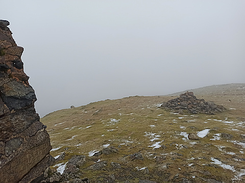
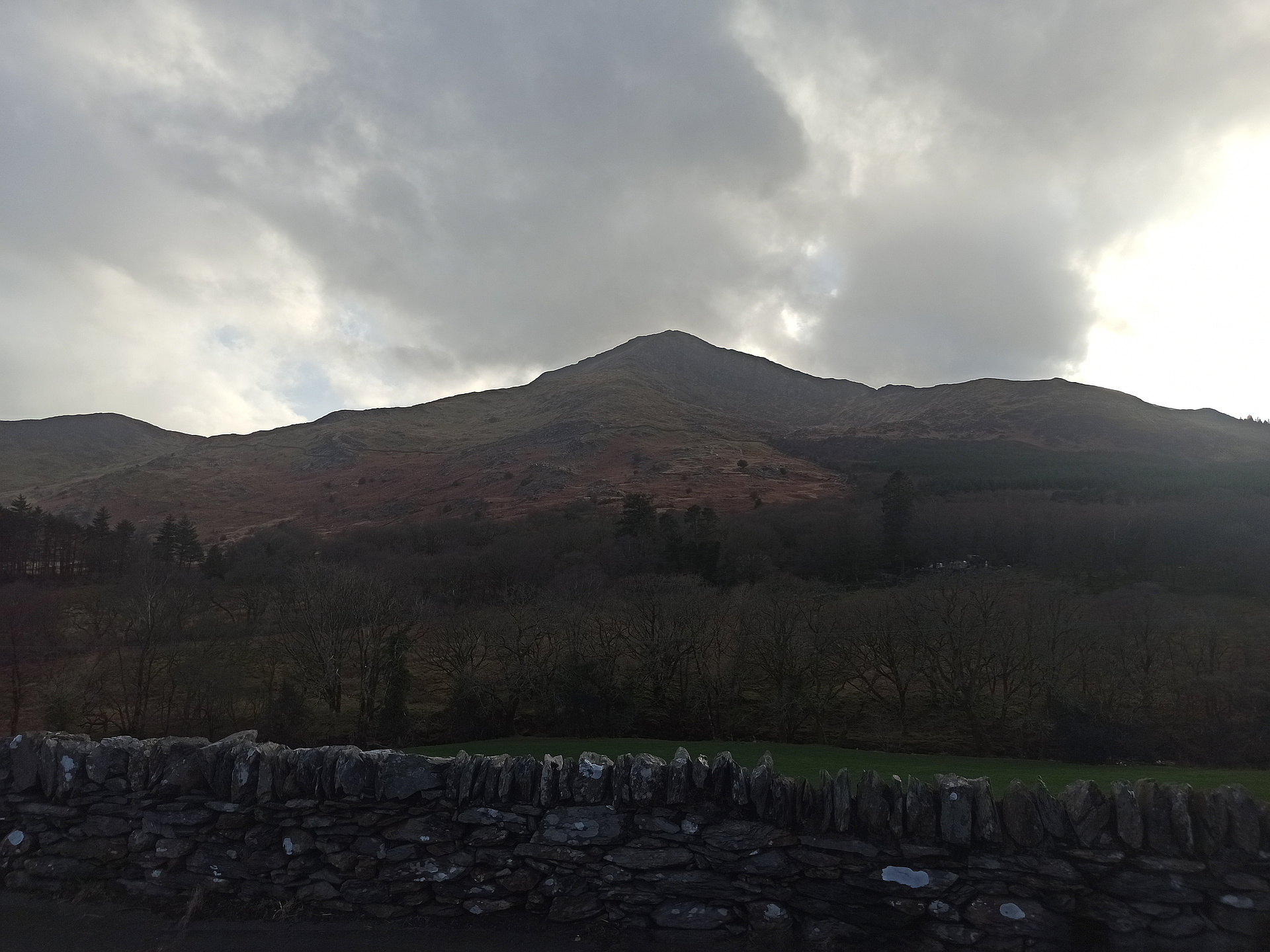
"Took the obvious route from Beddgelert. Fairly straightforward although struggled a little to find path on steep part of climb to get onto the ridge. Followed a minor one which involved some scrambling. Light drizzle on way up, turning to needling hail on summit with very low visibility. On return found the main path more easily an made my way down, slipsliding away." — vygodski • Mar 4, 2022

"Solo. From the centre of Beddgelert using footpaths and tracks past the WHR railway station and Cwm Cloch Isaf. I followed the path to Moel Hebog, initially across a boggy area on which some path work had been done. Beyond a gate in a wall the OS 1:25,000 map I was using showed a path with green dashes going up the cliffs of Y Diffwys, although it is difficult to see how the path can go up the cliffs. The green dashes come to an abrupt end with nothing to follow. Instead of following this path I followed a path shown on the map with black dots. This rises up a grassy ridge between Cwm Bleiddiaid and Cwm Llwy. It started to rain quite heavily. The path turns to the WNW and ascends steeply with rocky parts with some scrambling, which can be avoided. The rocks were slippery in the wet. I descended the same way. " — peter43 • Jul 19, 2009
Photos
Awards
Challenges
About peakery awards
Log successful summits on peakery to earn awards:
Peak Badges: Earn a special badge for each unique peak you summit. See all of your badges on your Badges page.

First Ascent Award: Only 1 available per peak. Goes to the first peakery member to log a successful summit of a peak. Snag this award and the peak will forever bear your name.

King of the Mountain Award: Only 1 available per peak. Summit a peak more times than any other member. Beware: this award can be lost!

Summit Steward: Summit a peak at least 5 times to become one of its Summit Stewards. As Steward of a peak, you’re encouraged to keep that peak’s info up-to-date on peakery and spread goodwill on your future climbs up the peak.