
Region
Highlights
Routes
/114.248876154717,22.2167613571643,11,0.00,0.00/320x240@2x?access_token=pk.eyJ1IjoicGVha2VyeSIsImEiOiJjampra3Z0bnAxeTVnM3FteHlybHY3b2p1In0.7a5dEa5-995VUv8ceHHNmw)
1 summit • 14.3 km • 463 m gain • 4 hr 11 min
1 summit • 26.2 km • 1,104 m gain • 5 hr 14 min
1 summit • 32.6 km • 1,522 m gain • 6 hr 38 min
Latest summits
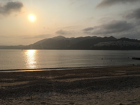
"Hong Kong trail section 7 with Obelisk Hill sidetrack loop + D’Aguilar Peak
Start : Tai Tam Reservoir North bus stop - take #14 bus from near Sai Wan Ho MTR
Finish : Shek O beach - take #9 bus home to Shau Kei Wan MTR
Follow the flat HK trail to marker post H075 where a bridge crosses the catchwater and a ribboned trail goes north up Obelisk Hill. From here an anti-clockwise circuit back to H075 takes a little over 1hr.
The actual summit of Obelisk Hill is a fenced off GPS station. 200m prior stands one of two concrete obelisks built ~1900 by the navy. The second obelisk can be spied away to the south on the shore by Red Hill. Ships moored in the natural shelter of Tai Tam Bay used the obelisks to calibrate, aka “swing”, their compasses; the obelisks lie on the same line of longitude, so by lining up on them sailors could accurately reference true north. A secondary use for the obelisks may have been to navigate obstacles on approach to Tai Tam Harbour.
Descend NW to regain the HK trail at marker post H071. Soon after the summit are some WWII defence buildings to explore; an old fibreglass helmet liner lay on a window ledge, what era I don’t know.
Continue on th..." — davidb • Mar 26, 2020
Photos
Awards
About peakery awards
Log successful summits on peakery to earn awards:
Peak Badges: Earn a special badge for each unique peak you summit. See all of your badges on your Badges page.

First Ascent Award: Only 1 available per peak. Goes to the first peakery member to log a successful summit of a peak. Snag this award and the peak will forever bear your name.

King of the Mountain Award: Only 1 available per peak. Summit a peak more times than any other member. Beware: this award can be lost!

Summit Steward: Summit a peak at least 5 times to become one of its Summit Stewards. As Steward of a peak, you’re encouraged to keep that peak’s info up-to-date on peakery and spread goodwill on your future climbs up the peak.