Ionía Nísia peaks
Ionía Nísia summits
First Ascent Awards
9 of 37 peaks 24%
Top climbing months
September 45%
June 15%
April 10%
Ionía Nísia mountains highlights
Latest summits

"From the beginning of the dirt road, followed this down before reaching a well-travelled path up to the top. Added a little bit of adventure to this tourist hotspot by following a trail back half the way along the ridge. Wide ranging views." — vygodski • Jun 23, 2023
"I started from the Themata Monastery, where my wife dropped me off at the end of the tarmac road. I took the access grit road up, which zig-zagged up the valley at generally easy gradients to reach the ridge at about 900m at Ypoporos. There were three sets of barking dogs to contend with, but luckily all were contained by fences. Turning south, I followed the road up, more steeply now, along the main ridge, following it when it circumvented the summit cone to reach the highest wind turbine. The summit was nearby - sporting a collapsed concrete trig pillar and a ruined chapel, dedicated to the Resurrection. A good viewpoint.
I headed down by my outward route, reaching the monastery before my wife arrived, so I hiked further down the tarmac road for half an hour before she reached me." — marktrengove • Sep 22, 2021
"A traverse of Oros Ainos, using the Atsoupades Trail, marked by a white square on yellow background.
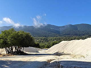
I was dropped off at the trail head in a quarry (at 38.16586N; 20.67513E) below the town of Digaleto by my wife in the hire car. The trail wound through the piles of limestone grit, and then through low cork oak woods, and up to a battered rest area at Karvounolakos (at 38.15661N; 20.66783E). There I joined a grit road south east over several kilometres, with only about 40 metres of ascent, to the next battered rest area at Pigadia (at 38.14995N; 20.68096E).
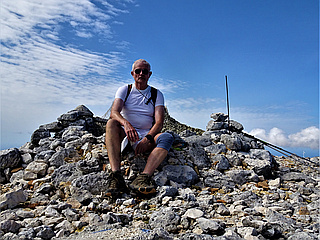
From there the real climb began up the steep Kefalonian fir-clad slopes of the mountain, with the trail zig-zagging through the shady forest nearly all the way to the summit. Some 100 metres below the summit, I crossed a higher grit road, meeting the first people all-day who were taking the much shorter route from the car park at the end of the public access road. The trail emerged from the fir forest just short of the summit crest, and a brief ascent over limestone brought me onto the craggy summit of Megas Soros - the highest top on the mountain. This sported a large cairn, trig point with summit book in a metal case, an..." — marktrengove • Sep 20, 2021

"Greece - Zakynthos. Started walking from Ano Vasilikos. On the main road a Jack Russel followed us, named him Spiros. Passed through hills, saw turtle nest beaches Dafni and Sekalia from a distance. At the end there was a white chapel. A small path hidden in bushes lead up to the top Skopos from which we could see the entire island." — Pieter • Apr 11, 2015