Region
Most climbed route
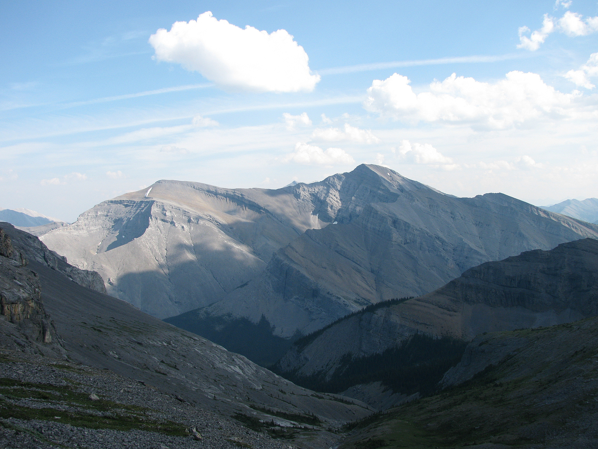
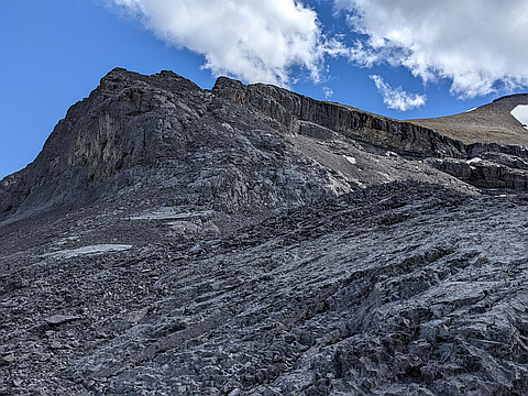
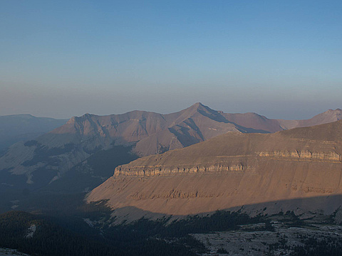
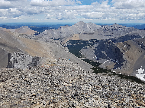
Highlights
Routes
/-114.8989393,50.6739151,11,0.00,0.00/320x240@2x?access_token=pk.eyJ1IjoicGVha2VyeSIsImEiOiJjampra3Z0bnAxeTVnM3FteHlybHY3b2p1In0.7a5dEa5-995VUv8ceHHNmw)
2 summits • 36.3 km • 1,428 m gain • 10 hr 30 min
1 summit • 9.3 km • 1,215 m gain • 3 hr 59 min
Latest summits
"An interesting scramble with a long approach. "Easy" scramble to the false summit. Terrain gets more involved between the false and true summits. Class 4 ("difficult" scramble) if sticking to the ridgeline or class 3 ("upper moderate") if avoiding all difficulties on climber's left. " — Taras • Jul 10, 2022
"This was one of my favorite days on a mountain ever. Not because of the mountain itself neccesarily. Just the timing we did it. Had the whole peak to ourselves all day and during sunset. Once you go far enough down the big elbow loop, the bushwhack upwards begins. Not the worst bushwhack I have done but it does take some time. After that the route is rather obvious up the first ridge. There was a rock pinnacle we went around on climbers right before arriving at the wide area below the summit. But I didnt get a picture of it unfortunately. You can see the summit almost all day. It teases you all day with its seemingly close proximity. But it is never truly close lol. The route to the summit after getting to the wide area below the summit is obvious. A very nice remote peak with amazing views. One of my favorite mountain days. " — Slogenstein • Aug 18, 2018
"Blake, Feli and I set out to do Remus, but took Big Elbow trail instead of Litte Elbow so we decided to do Cougar since we were out that way. It was an awesome day out, but that traverse from the false summit to true summit was tiring!" — leigh-annewebster • Jun 17, 2017

"Blake, Feli and I set out to do Remus, but took Big Elbow trail instead of Litte Elbow so we decided to do Cougar since we were out that way. It was an awesome day out, but that traverse from the false summit to true summit was tiring!" — leigh-annewebster • Jun 17, 2017

"Cycled from Little Elbow parking to the Elbow River crossing. A very slow ride due to crusted snow in the mostly shaded areas of the access road. The bridge still had not yet been replaced after the 2013 flood damage, and we left our bikes on the north side of the river. Threw some logs into the river to make a bridge across, then walked the rest of the way up the road through 6" snow in places, to where the route leaves the road & up through the trees. A cold ascent along the ridge, extremely windy south of the false summit. More pleasant during the return when the wind subsided, sun came out and temperature warmed up. A very muddy ride back to the car. No more biking this late in the year..." — PaulHoch • Nov 5, 2016

"Bike approach. Didn't take the bike across the water as the bridge was out, and we didn't have to walk far once across the water. Went up using the standard scrambling route. It was a long day, and the fresh snow, while rapidly disappearing, did impede the speed." — BertB • May 15, 2016
Photos
Awards
Challenges
About peakery awards
Log successful summits on peakery to earn awards:
Peak Badges: Earn a special badge for each unique peak you summit. See all of your badges on your Badges page.

First Ascent Award: Only 1 available per peak. Goes to the first peakery member to log a successful summit of a peak. Snag this award and the peak will forever bear your name.

King of the Mountain Award: Only 1 available per peak. Summit a peak more times than any other member. Beware: this award can be lost!

Summit Steward: Summit a peak at least 5 times to become one of its Summit Stewards. As Steward of a peak, you’re encouraged to keep that peak’s info up-to-date on peakery and spread goodwill on your future climbs up the peak.