no info yet
no info yet
no info yet
no info yet
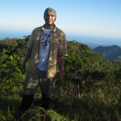
Took me 4 hours and 15 mins to reach the summit. The trail to the top is a continuous steep climb. Wont recommend it to novice climbers or those who have not prepared physically and emotionally.
It was a 2-hour descent from the peak.
When i was at the peak, i posted this on my FB wall (yup, there was Smart signal at the peak, Smart coverage was not lost during my assault of the summit): "To my North stands Mt Gantung; to the West is the majestic Mt Mantalingajan whose flat summit is obscured by cumulus clouds. On the west is a vast spread of water called Sulu Sea. I can see San Antonio Bay, the parts of which are hidden by Mt Malis; the Tinangisan Sandbar is glimmering from here. The road leading to Rio Tuba is very visible. Meanwhile, the townproper of Brookes Pt which unfortunately i can barely have a sight of is on the east; shrubs and trees have grown to heights which prevent me to have a view of it."
no info yet
no info yet
