Region
Highlights
Routes
/-115.4142,35.9943,11,0.00,0.00/320x240@2x?access_token=pk.eyJ1IjoicGVha2VyeSIsImEiOiJjampra3Z0bnAxeTVnM3FteHlybHY3b2p1In0.7a5dEa5-995VUv8ceHHNmw)
3 summits • 3.8 mi • 1,148 ft gain • 2 hr 7 min
Latest summits
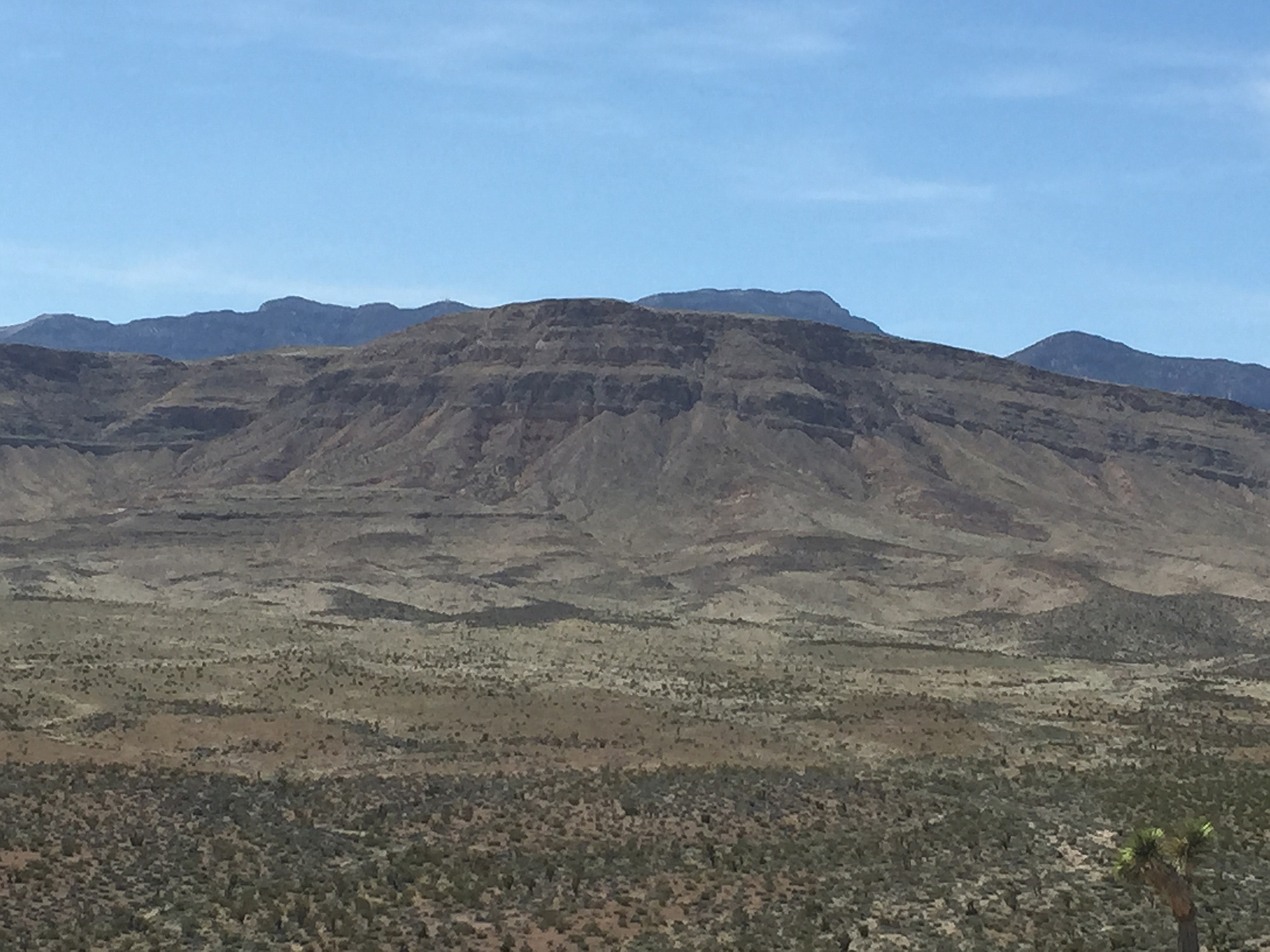
"Bird Spring Range 5 peak Jaunt. Peak 5,140’, Escarpment Peak, Joshua Peak, Cottonwood Peak North & Mount Crypto.16 miles, 3,600’ gain, 6:23hrs. Cool and Windy day. A large area had been destroyed by a recent fire and looked like barren wasteland. Some tall yuccas were scorched ghosts of their former selves. There were scant amounts of wildflowers so I made sure to take photos of what I saw since it was my 1st time all year seeing a variety (or any) of them. I saw a snake too. Long hard day. I named & added Mount Crypto to the Peakery database since it had an old geocache with the name Crypto on it. (It needs a pencil) I’m not sure if this Northern Cottonwood peak is higher than the Southern (Northern) one. My gps shows the Southern one is slightly higher. " — paula.raimondi • Apr 26, 2021

"Weather has been an issue these past few weekends, so we wanted something short. I brought Amber, Erica & RD up here, since I knew the route from last week & we knew what to expect. Sunny skies at the beginning, ominous clouds at the end. We got down before the rain. Happy Mother's Day. Same route as last time." — Kevin • May 8, 2016
"Very rainy day. The plan was to do a snow climb of Mummy's Toe, but the weather on the high mountains was just too bad. Didn't want to risk it. Instead, we braved the rain to do a short hike near town. We settled on Escarpment Peak, which ended up being a worthwhile hike for the morning. We thought about bagging some other shorter peaks nearby afterwards, but we were soaked & hungry, so we went for food instead.
As far as the route goes, we parked off of Blue Diamond Rd @ 'New 33' Rd on the map. We followed the dirt road to where it bends left. We turned right and headed to the prominent saddle at the north end of the ridge. From the saddle, we traversed the ridge to the summit, where we got pounded with rain. Followed the same route back." — Kevin • Apr 30, 2016
Photos
Awards
About peakery awards
Log successful summits on peakery to earn awards:
Peak Badges: Earn a special badge for each unique peak you summit. See all of your badges on your Badges page.

First Ascent Award: Only 1 available per peak. Goes to the first peakery member to log a successful summit of a peak. Snag this award and the peak will forever bear your name.

King of the Mountain Award: Only 1 available per peak. Summit a peak more times than any other member. Beware: this award can be lost!

Summit Steward: Summit a peak at least 5 times to become one of its Summit Stewards. As Steward of a peak, you’re encouraged to keep that peak’s info up-to-date on peakery and spread goodwill on your future climbs up the peak.