Region
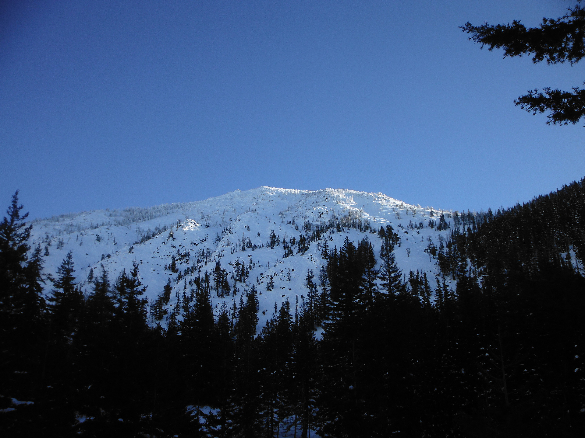
Most climbed route
Highlights
Routes
/-120.842670031738,47.4099339942679,11,0.00,0.00/320x240@2x?access_token=pk.eyJ1IjoicGVha2VyeSIsImEiOiJjampra3Z0bnAxeTVnM3FteHlybHY3b2p1In0.7a5dEa5-995VUv8ceHHNmw)
1 summit • 12.0 mi • 4,365 ft gain • 9 hr 14 min
1 summit • 11.5 mi • 4,994 ft gain • 8 hr 47 min
1 summit • 21.7 mi • 6,848 ft gain • 9 hr 55 min
1 summit • 25.2 mi • 7,652 ft gain • 12 hr 37 min
1 summit • 25.4 mi • 11,490 ft gain • 14 hr 29 min
1 summit • 6.5 mi • 3,323 ft gain • 7 hr 9 min
Latest summits

"Day 2: Broke camp 8:30 AM headed west on the Bean Creek Trail bound for Earl Peak. Found a camp spot below the switchbacks up to the col. Stashed my gear and made it to the col by mid morning. Summited the un-named peak 5,100' that shares the col with Earl (SE of Earl).
Then headed westward down into the Standup creek basin following the Bean Creek Trail. Took the ridge-top cut off for the SW flank of Earl Peak. Summitted 7,063 Earl and headed east down the east ridge back to the col, effectively making the journey to Earl a non-technical loop hike.
Dropped back down to the camp spot in the Stafford drainage basin, set up and watched some flicks. Had wind gusts and intermittent rain but restful night, easy 8 hrs of sleep.
" — MosquitoFood • Jun 27, 2020

"I attempted this trip the day before with the dogs but 2 miles in I noticed their paws were bleeding from the sharp icy crust covering the snow. The N. Fork Teanaway river road is currently passable by low clearance vehicles at least to Beverly creek, where a few inches of snow have been rutted down to dry gravel. The road to Beverly Creek trailhead however is covered in snow and my tires are nearly bald, so I parked and walked from the junction.
My thanks to the folks with the snowshoes who broke trail up to Bean Creek, from there on the deep snow was mostly fresh powder that had me constantly sinking to my thighs, bot not consistently enough to get used to it. The naturally snow-trenched trail was relatively easy to follow but i left it after a sketchy re-crossing of Bean Creek, opting instead to ascend to the saddle between Earl Peak and Bean Peak before continuing to Earl's summit.
Clear skies the night before meant lower temperatures today despite the ever-present sun. It took me nearly 5 hours of hard work to finally reach the summit, but the cold prevented me from lingering too long. Stuart and the Enchantments looked as impressive as ever covered in a fresh blanket o..." — Jeb • Nov 25, 2012

"I headed up to the Teanaway for a hike. The plan was to hike up the Stafford Creek Trail to the pass, then up the peak. Due to carelessness on my part, I ended up at the Standup Creek Trailhead instead. Since I already had my backpack on, by the time I figured this out, I set out anyway. The trail was pleasant. The ridge to the East shaded me from the morning sun for most of the way to the South-East ridge of Earl Peak. Here is where I lost the trail in the snow. I didn't have a map with me so I didn't know where the trail went. I found a boot trail leading up the ridge so I followed it. This didn't lead me to Navaho Pass, but to the top of Earl instead. Earl has a great view of the Stuart Range. It also had a few bugs, not too bad though.
Then I headed to Navaho Peak." — MangyMarmot • Jul 8, 2012
Photos
Awards
Challenges
About peakery awards
Log successful summits on peakery to earn awards:
Peak Badges: Earn a special badge for each unique peak you summit. See all of your badges on your Badges page.

First Ascent Award: Only 1 available per peak. Goes to the first peakery member to log a successful summit of a peak. Snag this award and the peak will forever bear your name.

King of the Mountain Award: Only 1 available per peak. Summit a peak more times than any other member. Beware: this award can be lost!

Summit Steward: Summit a peak at least 5 times to become one of its Summit Stewards. As Steward of a peak, you’re encouraged to keep that peak’s info up-to-date on peakery and spread goodwill on your future climbs up the peak.